


101 km | 129 km-effort

Gebruiker


Gratisgps-wandelapplicatie
 SityTrail
IGN / Geografische instituten
SityTrail World
De wereld gaat voor u open
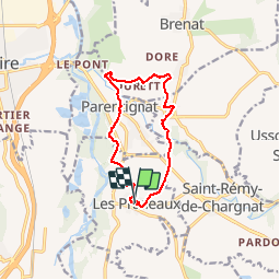
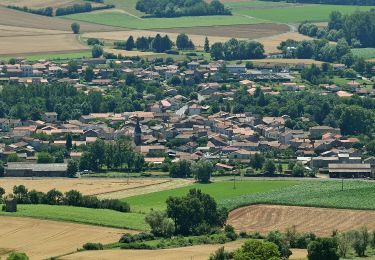
Tocht Stappen van 11,5 km beschikbaar op Auvergne-Rhône-Alpes, Puy-de-Dôme, Les Pradeaux. Deze tocht wordt voorgesteld door tracegps.
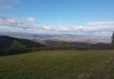
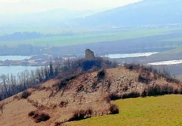
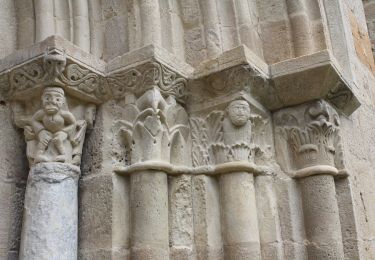
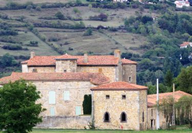
Itinéraire en bordure de l'Allier sans aucune difficulté. Le départ se fait devant le château de Parentignat des 17 et 18e siècles. Balade numérisée sur le terrain par Jean louis Phillipart. Retrouvez cette randonnée dans le topo Guide Chamina Au Fil de l’Allier.

Motor
Stappen
Te voet
Te voet
Te voet
Te voet

Stappen
Motorfiets
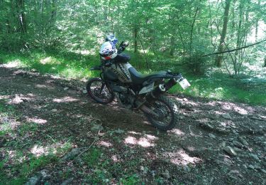
Moto-cross