


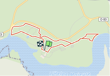

22 km | 27 km-effort

Gebruiker


Gratisgps-wandelapplicatie
 SityTrail
IGN / Geografische instituten
SityTrail World
De wereld gaat voor u open
Tocht Mountainbike van 4,5 km beschikbaar op Hauts-de-France, Noorderdepartement, Eppe-Sauvage. Deze tocht wordt voorgesteld door tracegps.
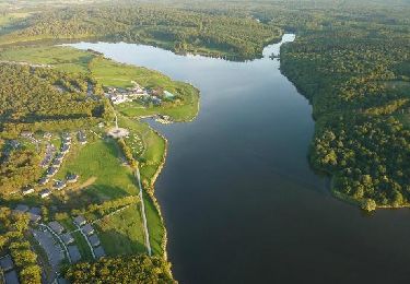
Centre VTT FFC du Val Joly Circuit labellisé par la Fédération Française de Cyclisme. Située à l'orée des Ardennes, dans le Parc Naturel de l'Avesnois, à moins de deux heures de route des grandes métropoles urbaines du nord de la France et de la Belgique, la station touristique du ValJoly offre aux citadins nord européens une "destination nature" de courts séjours, positionnée sur le thème "un nouvel art de vivre" dans un magnifique espace lacustre et boisé dont l'environnement est préservé. La station touristique du ValJoly ouvre ses portes le 27 juin 2008.

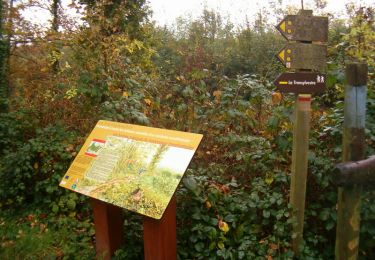
Stappen

Stappen

Noords wandelen
Stappen
Stappen
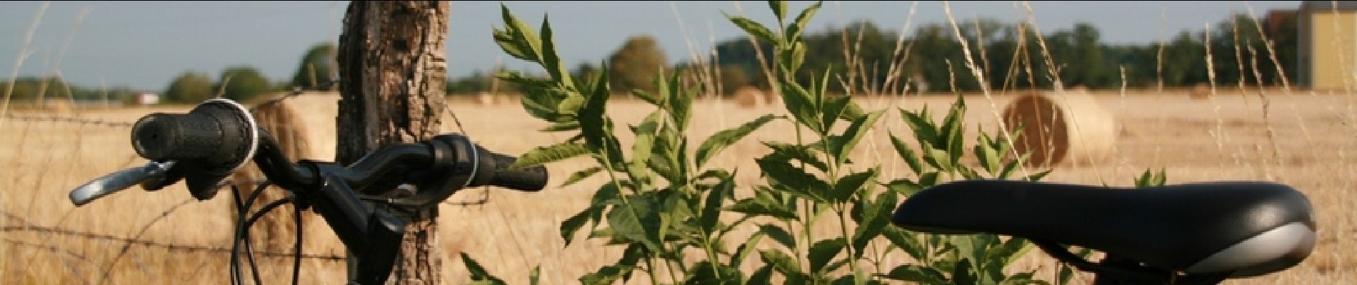
Hybride fiets
Stappen
Stappen
Stappen