


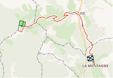

9,6 km | 17,9 km-effort


Gebruiker


Gratisgps-wandelapplicatie
 SityTrail
IGN / Geografische instituten
SityTrail World
De wereld gaat voor u open
Tocht Mountainbike van 15 km beschikbaar op Provence-Alpes-Côte d'Azur, Hautes-Alpes, Aspres-sur-Buëch. Deze tocht wordt voorgesteld door tracegps.
Grande Traversée des Préalpes, les Chemins du Soleil. Parcours officiel labellisé par la Fédération Française de Cyclisme. Parcours Valence – Gap - Sisteron – Tronçon n° 30 Niveau: moyen; bonnes pistes roulantes parsemées de petits raidillons. Mesure de prudence: - après le col de Lauteret, descente technique. - tronçon enneigé tardivement certaines années Consultez toutes les informations sur les hébergements et les services associés sur la fiche du tronçon. Retrouvez cette traversée dans l’indispensable topo Guide Chamina Grande Traversée des Préalpes


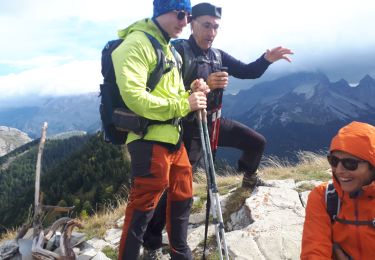
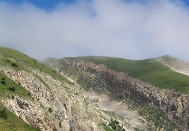
Stappen

Stappen

Stappen
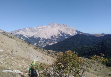
Stappen

Stappen
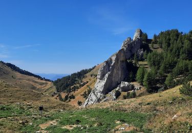
Stappen
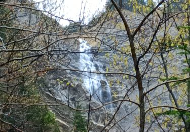
Stappen
Stappen
Stappen