11,2 km | 13,2 km-effort
Les malaquettes
terminio
Gebruiker
Lengte
8,3 km
Max. hoogte
83 m
Positief hoogteverschil
92 m
Km-Effort
9,6 km
Min. hoogte
39 m
Negatief hoogteverschil
92 m
Boucle
Ja
Datum van aanmaak :
2019-01-15 14:35:28.383
Laatste wijziging :
2019-01-15 14:35:28.383
2h31
Moeilijkheid : Gemakkelijk
Gratisgps-wandelapplicatie
Over ons
Tocht Stappen van 8,3 km beschikbaar op Hauts-de-France, Somme, Cappy. Deze tocht wordt voorgesteld door terminio.
Beschrijving
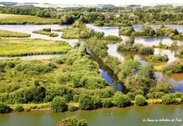
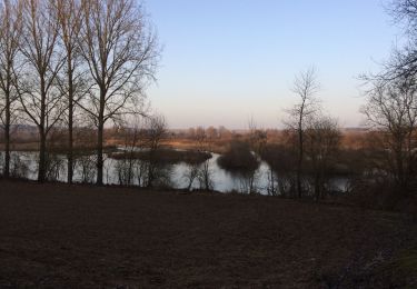
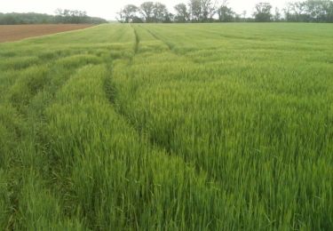
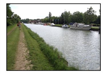
Randonnée agréable dans les champs et le long de la somme.
Plaatsbepaling
Land:
France
Regio :
Hauts-de-France
Departement/Provincie :
Somme
Gemeente :
Cappy
Locatie:
Unknown
Vertrek:(Dec)
Vertrek:(UTM)
482556 ; 5530630 (31U) N.
Opmerkingen
Wandeltochten in de omgeving
La Montagne de Frise
Stappen
Medium
(1)
Frise,
Hauts-de-France,
Somme,
France
2,2 km | 2,8 km-effort
49min
Ja
Les Royards
Te voet
Gemakkelijk
Cappy,
Hauts-de-France,
Somme,
France
8,9 km | 10,4 km-effort
2h 22min
Ja
tour des étangs de curlu
Stappen
Heel gemakkelijk
Curlu,
Hauts-de-France,
Somme,
France
10,5 km | 11,6 km-effort
2h 41min
Ja
Autour des étangs de Curlu et Feuillères
Stappen
Gemakkelijk
(1)
Curlu,
Hauts-de-France,
Somme,
France
11,6 km | 12,7 km-effort
3h 11min
Ja
Vaux - Marais de la Somme
Andere activiteiten
Heel gemakkelijk
Éclusier-Vaux,
Hauts-de-France,
Somme,
France
8,7 km | 10,1 km-effort
2h 13min
Ja
Les Champs Muraine - Cappy
Stappen
Medium
Cappy,
Hauts-de-France,
Somme,
France
9,9 km | 11,9 km-effort
2h 15min
Ja
montagne de frise
Stappen
Medium
(1)
Frise,
Hauts-de-France,
Somme,
France
2 km | 2,5 km-effort
1h 0min
Ja
Le chemin des Automitrailleuses - Curlu
Stappen
Medium
(1)
Curlu,
Hauts-de-France,
Somme,
France
11 km | 12 km-effort
3h 19min
Ja