


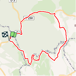

15,3 km | 20 km-effort


Gebruiker


Gratisgps-wandelapplicatie
 SityTrail
IGN / Geografische instituten
SityTrail World
De wereld gaat voor u open
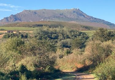
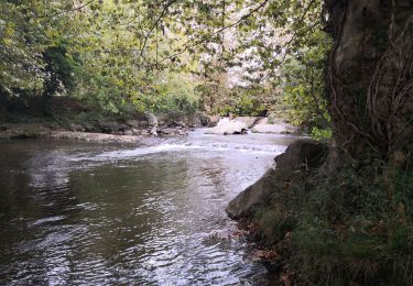
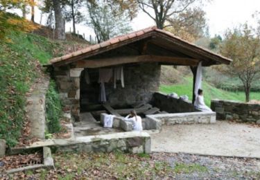
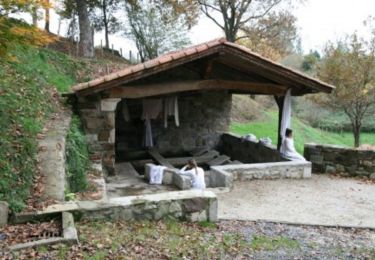
Tocht Noords wandelen van 10,2 km beschikbaar op Nieuw-Aquitanië, Pyrénées-Atlantiques, Saint-Pée-sur-Nivelle. Deze tocht wordt voorgesteld door funkady.
Agréable

Noords wandelen
Stappen

Stappen

Stappen
Stappen

Stappen
Mountainbike
Stappen

Stappen
Pas terrible.