


10 km | 11,3 km-effort

Gebruiker


Gratisgps-wandelapplicatie
 SityTrail
IGN / Geografische instituten
SityTrail World
De wereld gaat voor u open
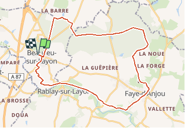
Tocht Mountainbike van 19,9 km beschikbaar op Pays de la Loire, Maine-et-Loire, Beaulieu-sur-Layon. Deze tocht wordt voorgesteld door tracegps.
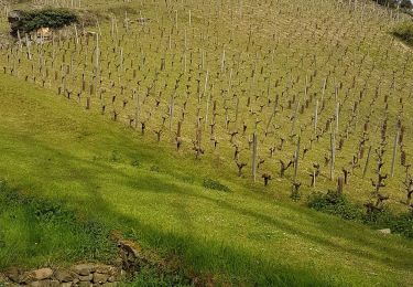
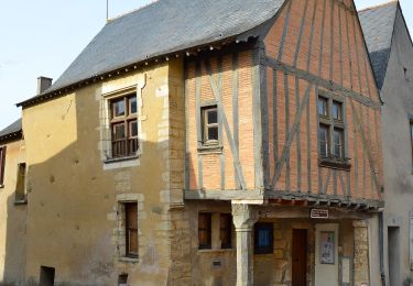
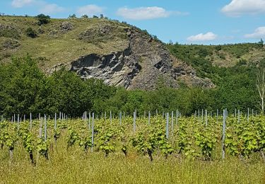
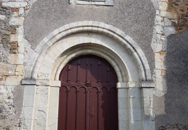
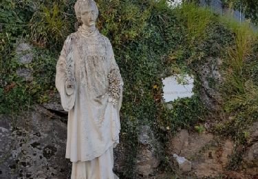
Espace VTT - FFC des Coteaux du Layon Circuit labellisé par la Fédération Française de Cyclisme. Départ de l'Office de Tourisme de Beaulieu sur Layon. Promenades en forêt de Beaulieu puis sur le coteau. Vous apercevrez au cours de votre balade de nombreux élément du petit Patrimoine ; lavoir de Bonnezeaux, moulin de la montagne (Thouarcé) Moulin de la Pinsonnerie (Faye d'Anjou)... Ce sentier allie découverte de la forêt, les vignes produisant le fameux "Côteaux du Layon" et "Bonnezeaux", le calme des rives du Layon et ça et là, le charme du petit patrimoine.

Stappen
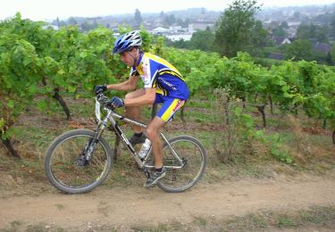
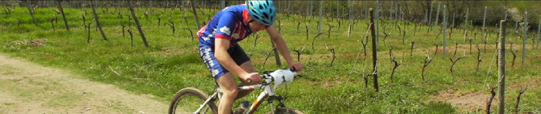
Mountainbike

Stappen
Stappen
Te voet
Stappen
Stappen
Te voet
Stappen