


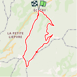


17,1 km | 27 km-effort


Gebruiker


Gratisgps-wandelapplicatie
 SityTrail
IGN / Geografische instituten
SityTrail World
De wereld gaat voor u open
Tocht Stappen van 14,5 km beschikbaar op Grand Est, Haut-Rhin, Sainte-Marie-aux-Mines. Deze tocht wordt voorgesteld door tracegps.
Prendre la direction du centre du village, emprunter sur la gauche le chemin balisé croix jaune qui grimpe au sommet du Schulberg (627 mi. Suivre la ligne de crête qui monte au point coté 934 m pour redescendre vers un chemin carrossable. Le traverser pour arriver au début du pré de la Ferme Auberge Haïcot... La suite et d’autres informations et photos sont disponibles ICI Balade proposée par « Alsace en randonnée.» Balisage : la plupart des sentiers dans la montagne vosgienne sont tracés, entretenus et balisés bénévolement par les membres du Club Vosgien, d'une façon tout à fait remarquable. Les différents signes en couleur (rectangle, disque, triangle, croix, etc...) sont reproduits sur la carte.


Stappen

Stappen

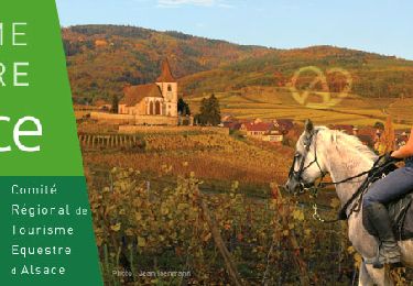
Paardrijden

Paardrijden

Stappen
Paardrijden

Te voet
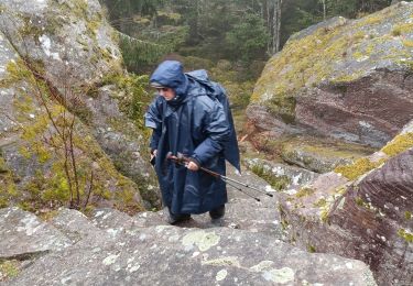
Stappen
Stappen