Tocht Stappen Châtenois - Le Haut Koenigsbourg de Val de Ville - Photo

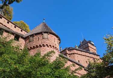
Le Haut Koenigsbourg de Val de Ville

 tracegps
tracegps

Gebruiker

© OpenStreetMap contributors
Lengte
Lengte
16,8 km
Max. hoogte
Max. hoogte
731 m
Positief hoogteverschil
635 m
Km-Effort
Km-Effort  
25 km
Min. hoogte
Min. hoogte
202 m
Negatief hoogteverschil
640 m
Boucle
Boucle
Ja
Datum van aanmaak :
2014-12-10 00:00:00.0
Laatste wijziging :
2014-12-10 00:00:00.0

(1 Bericht)

Stappen
Stappen
5h00
Moeilijkheid : Moeilijk

Scan deze QR-code om de tocht te openen in de SityTrail-applicatie

Gratisgps-wandelapplicatie

Logo SityTrail SityTrail

IGN / Geografische instituten

SityTrail uit de App Store downloaden SityTrail uit Google Play downloaden

Logo SityTrail SityTrail World

De wereld gaat voor u open

SityTrail uit de App Store downloaden SityTrail uit Google Play downloaden SityTrail op Huawei AppGallery downloaden

Over ons

Tocht Stappen van 16,8 km beschikbaar op Grand Est, Bas-Rhin, Châtenois. Deze tocht wordt voorgesteld door tracegps.

Beschrijving

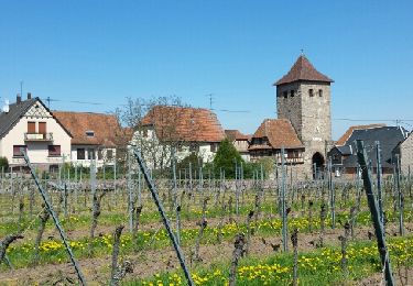
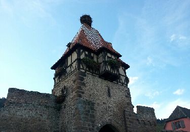
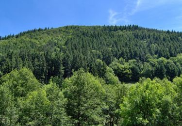
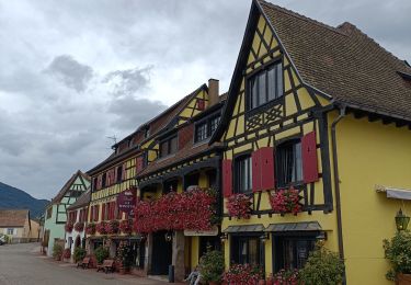
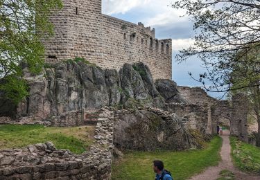
Prendre le chemin forestier (rectangle rouge-blanc-rouge) qui, après une montée à flanc du Rothenberg, rejoint le sentier de Grande Randonnée. L'emprunter pour arriver à la maison forestière de la Wick. A proximité de celle-ci se trouve la "Montagne des Singes" ; ces macaques ont été importés d'Afrique du Nord en 1969... La suite et d’autres informations et photos sont disponibles ICI Balade proposée par « Alsace en randonnée.» Balisage : la plupart des sentiers dans la montagne vosgienne sont tracés, entretenus et balisés bénévolement par les membres du Club Vosgien, d'une façon tout à fait remarquable. Les différents signes en couleur (rectangle, disque, triangle, croix, etc...) sont reproduits sur la carte.

Hoogteprofiel

Foto's

Plaatsbepaling

Land:
France
Regio :
Grand Est
Departement/Provincie :
Bas-Rhin
Gemeente :
Châtenois
Locatie:
Unknown
Vertrek:(Dec)
Vertrek:(UTM)
379754 ; 5349051 (32U) N.

Opmerkingen

Gelieve in te loggen om een commentaar of een beoordeling achter te laten


Super !


Wandeltochten in de omgeving

Tocht Stappen Dambach-la-Ville - Les ruines de Bernstein et d'Ortenbourg par la forêt - Photo
Stappen
VacheKiri67

Stappen

Medium
(1)
Dambach-la-Ville, Grand Est, Bas-Rhin, France
13 km | 18,5 km-effort
4h 38min
Ja
Tocht Stappen Châtenois - Le Hahnenberg et les balcons Sélestat - Photo
Stappen
VacheKiri67

Stappen

Medium
(2)
Châtenois, Grand Est, Bas-Rhin, France
12 km | 17,2 km-effort
4h 29min
Ja
Tocht Stappen Scherwiller - chateau  de ortenbourg - Photo
Stappen
GUIDE
dudu42

Stappen

Heel gemakkelijk
(1)
Scherwiller, Grand Est, Bas-Rhin, France
4,6 km | 7,9 km-effort
1h 29min
Ja
Tocht Mountainbike Thanvillé - Circuit de la Gadouille - Photo
Mountainbike
tracegps

Mountainbike

Moeilijk
(3)
Thanvillé, Grand Est, Bas-Rhin, France
18,4 km | 27 km-effort
1h 40min
Ja
Tocht Stappen Kintzheim - suuntoapp-Hiking-2023-10-15T07-53-44Z - Photo
Stappen
GUIDE
holtzv

Stappen

Medium
Kintzheim, Grand Est, Bas-Rhin, France
18,5 km | 28 km-effort
6h 16min
Ja
Tocht Elektrische fiets Sélestat - Vignoble  - Photo
Elektrische fiets
apa

Elektrische fiets

Heel gemakkelijk
Sélestat, Grand Est, Bas-Rhin, France
50 km | 57 km-effort
3h 4min
Neen
Tocht Trail Dambach-la-Ville - 2023-05-01 Course Trail Tous au Bernstein - Photo
Trail
GUIDE
holtzv

Trail

Moeilijk
(1)
Dambach-la-Ville, Grand Est, Bas-Rhin, France
24 km | 39 km-effort
3h 11min
Ja
Tocht Elektrische fiets Sélestat - Sélestat eckbo - Photo
Elektrische fiets
apa

Elektrische fiets

Medium
Sélestat, Grand Est, Bas-Rhin, France
65 km | 72 km-effort
4h 6min
Neen
Tocht Stappen Scherwiller - Scherwiller - Chateaux Ramstein-Ortenbourg-Berstein 2022-10 - Photo
Stappen
Mich&Agnès

Stappen

Gemakkelijk
Scherwiller, Grand Est, Bas-Rhin, France
14,5 km | 22 km-effort
3h 13min
Ja


Sluiten
Mijn abonnementen