


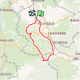

10,8 km | 13,8 km-effort

Gebruiker


Gratisgps-wandelapplicatie
 SityTrail
IGN / Geografische instituten
SityTrail World
De wereld gaat voor u open
Tocht Stappen van 11 km beschikbaar op Nieuw-Aquitanië, Pyrénées-Atlantiques, Lestelle-Bétharram. Deze tocht wordt voorgesteld door pilgrim08.
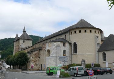
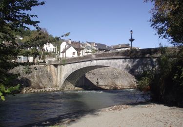
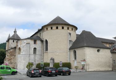
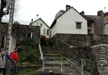
Depart lestelle le long du gave de pau,montée par la route des grottes puis petite route sur les hauteurs avec vue magnifique sur la chaine des pyrénéees


Stappen
Stappen
Te voet
Te voet
Te voet
Te voet
Stappen

Stappen

Stappen