


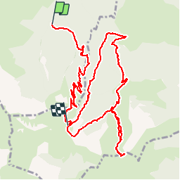

6 km | 9,9 km-effort


Gebruiker


Gratisgps-wandelapplicatie
 SityTrail
IGN / Geografische instituten
SityTrail World
De wereld gaat voor u open
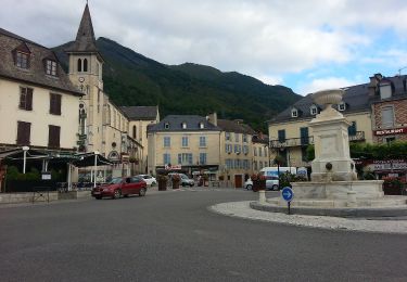
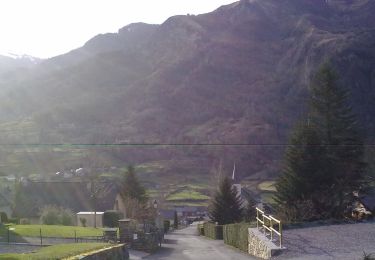
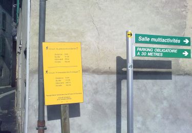
Tocht Stappen van 13,9 km beschikbaar op Nieuw-Aquitanië, Pyrénées-Atlantiques, Bielle. Deze tocht wordt voorgesteld door tracegps.
Montée par la cabane d’Ibech, à droite autour du pic de Gerbe vers le Pla de Troubat 1877m et retour par le col de la Courade

Stappen

Stappen

Stappen
Te voet
Te voet
Te voet

Te voet

Te voet

Te voet