

Pic d'Estibe Aute

tracegps
Gebruiker

Lengte
17,2 km

Max. hoogte
2758 m

Positief hoogteverschil
1410 m

Km-Effort
36 km

Min. hoogte
1369 m

Negatief hoogteverschil
1410 m
Boucle
Ja
Datum van aanmaak :
2014-12-10 00:00:00.0
Laatste wijziging :
2014-12-10 00:00:00.0
7h00
Moeilijkheid : Zeer moeilijk

Gratisgps-wandelapplicatie
Over ons
Tocht Stappen van 17,2 km beschikbaar op Occitanië, Hautes-Pyrénées, Cauterets. Deze tocht wordt voorgesteld door tracegps.
Beschrijving
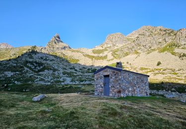
De Cauterets prendre direction Pont d'Espagne puis suivre panneau La Fruitière. Départ du parking près de l'hotel. Arrivé au Lacs d'Estibe Aute, on se dirige vers le col SO. Attention à des passages délicats de niveau II.
Plaatsbepaling
Land:
France
Regio :
Occitanië
Departement/Provincie :
Hautes-Pyrénées
Gemeente :
Cauterets
Locatie:
Unknown
Vertrek:(Dec)
Vertrek:(UTM)
737106 ; 4748602 (30T) N.
Opmerkingen
Wandeltochten in de omgeving
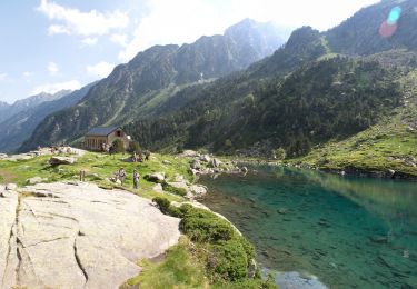
Lac d'Estom


Stappen
Medium
(1)
Cauterets,
Occitanië,
Hautes-Pyrénées,
France

11,4 km | 17,5 km-effort
3h 30min
Ja
Lac de Lagües


Stappen
Medium
(2)
Sazos,
Occitanië,
Hautes-Pyrénées,
France

9,1 km | 18,9 km-effort
5h 14min
Ja
contrefort de Cauterets


Stappen
Medium
(1)
Cauterets,
Occitanië,
Hautes-Pyrénées,
France

13,7 km | 21 km-effort
4h 21min
Ja
PIC DE VISCOS


Stappen
Medium
(1)
Grust,
Occitanië,
Hautes-Pyrénées,
France

10,5 km | 18,4 km-effort
4h 7min
Ja
promenade Russell


Stappen
Heel gemakkelijk
(1)
Cauterets,
Occitanië,
Hautes-Pyrénées,
France

11,9 km | 21 km-effort
5h 46min
Ja
Chemin des cascades


Stappen
Gemakkelijk
(1)
Cauterets,
Occitanië,
Hautes-Pyrénées,
France

8 km | 12,6 km-effort
2h 30min
Neen
2022-12-31 Marche Refuge du Clot vers Refuge Wallon


Stappen
Moeilijk
Cauterets,
Occitanië,
Hautes-Pyrénées,
France

17,3 km | 34 km-effort
7h 46min
Neen
CAUTERETS Le chemin des pères G3 le 14/10/2022 "3423761"


Stappen
Medium
Cauterets,
Occitanië,
Hautes-Pyrénées,
France

9,4 km | 15,3 km-effort
3h 5min
Ja
Aiguille de Lahazère en boucle


Stappen
Moeilijk
Sazos,
Occitanië,
Hautes-Pyrénées,
France

11,1 km | 25 km-effort
6h 0min
Ja


 SityTrail


