


30 km | 36 km-effort

Gebruiker


Gratisgps-wandelapplicatie
 SityTrail
IGN / Geografische instituten
SityTrail World
De wereld gaat voor u open
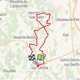
Tocht Mountainbike van 29 km beschikbaar op Pays de la Loire, Sarthe, Fresnay-sur-Sarthe. Deze tocht wordt voorgesteld door tracegps.
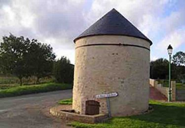
Espace VTT FFC des Alpes Mancelles Circuit labellisé par la Fédération Française de Cyclisme. Espace VTT FFC des Alpes Mancelles– Circuit n° 10 - Vaux Escarpement vertigineux, fortes pentes, passage à flanc de collines. 280km de circuits balisés par la FFC et parrainé par Laurence Leboucher triple championne du monde. Point d'accueil : domaine du Gasseau.

Stappen
Stappen

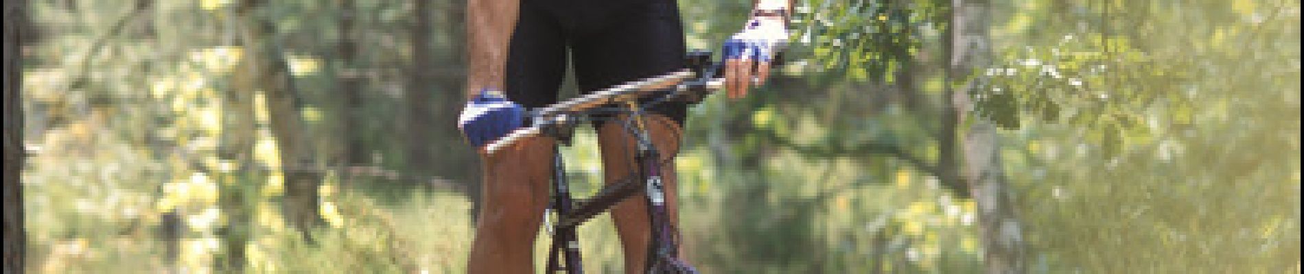
Mountainbike
Stappen
Noords wandelen

Te voet

Fiets

Stappen
Stappen