


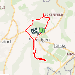

5,8 km | 7,3 km-effort

Gebruiker


Gratisgps-wandelapplicatie
 SityTrail
IGN / Geografische instituten
SityTrail World
De wereld gaat voor u open
Tocht Stappen van 6,5 km beschikbaar op Onbekend, Canton Echternach, Consdorf. Deze tocht wordt voorgesteld door GerardBouche.
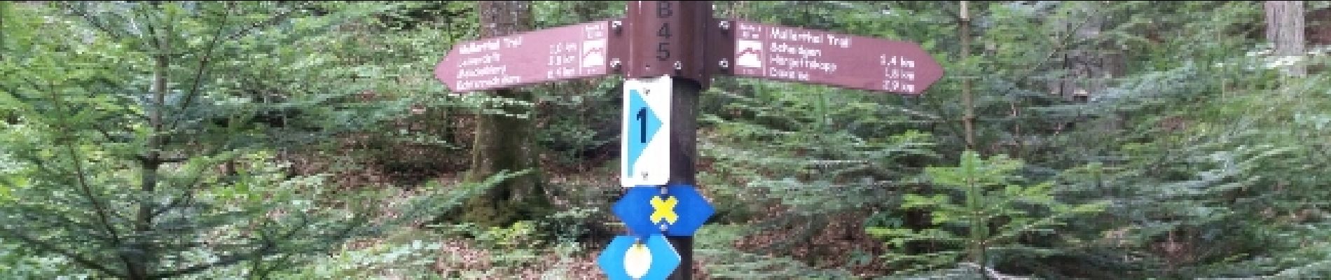
Agréable randonnée dans cette belle forêt de hêtres et ses superbes massifs rocheux typiques du Müllerthal.
. - Photo 1")
. - Photo 2")
. - Photo 3")
. - Photo 4")

Stappen

Stappen

Stappen

Stappen

Stappen

Stappen

Stappen

Stappen

Andere activiteiten