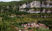

Marcilhac sur Célé

tracegps
Gebruiker

Lengte
8,4 km

Max. hoogte
272 m

Positief hoogteverschil
185 m

Km-Effort
10,8 km

Min. hoogte
148 m

Negatief hoogteverschil
186 m
Boucle
Ja
Datum van aanmaak :
2014-12-10 00:00:00.0
Laatste wijziging :
2014-12-10 00:00:00.0
3h15
Moeilijkheid : Medium

Gratisgps-wandelapplicatie
Over ons
Tocht Stappen van 8,4 km beschikbaar op Occitanië, Lot, Marcilhac-sur-Célé. Deze tocht wordt voorgesteld door tracegps.
Beschrijving
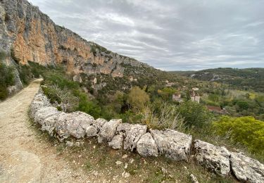
Rando très sympa, possible à faire en famille, attention toutefois aux abords des falaises avec les enfants et les animaux. Eviter de la faire par grosse chaleur. Ne pas hésiter à prendre du temps pour visiter Marcilhac. Possiblité de faire du canoé sur le Célé.
Plaatsbepaling
Land:
France
Regio :
Occitanië
Departement/Provincie :
Lot
Gemeente :
Marcilhac-sur-Célé
Locatie:
Unknown
Vertrek:(Dec)
Vertrek:(UTM)
402423 ; 4934111 (31T) N.
Opmerkingen
Wandeltochten in de omgeving
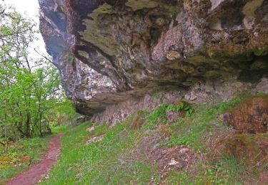
brengues-7854558


Stappen
Moeilijk
(1)
Brengues,
Occitanië,
Lot,
France

11,9 km | 16,5 km-effort
3h 45min
Ja

Autour de Marcilhac sur Célé


Stappen
Zeer moeilijk
(2)
Marcilhac-sur-Célé,
Occitanië,
Lot,
France

17,8 km | 25 km-effort
5h 0min
Ja
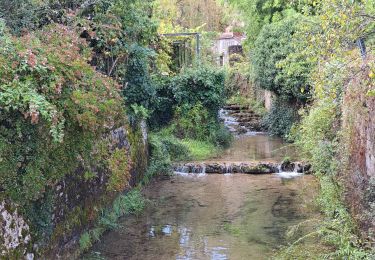
2e étape St Sulpice Cabrenet


Stappen
Moeilijk
Saint-Sulpice,
Occitanië,
Lot,
France

26 km | 37 km-effort
8h 7min
Neen
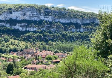
Marcilhac st sulpice


Stappen
Medium
Marcilhac-sur-Célé,
Occitanië,
Lot,
France

20 km | 27 km-effort
5h 0min
Ja
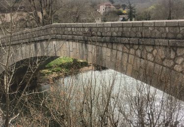
Sauliac sur céle Cabreret en boucle


Stappen
Gemakkelijk
(1)
Sauliac-sur-Célé,
Occitanië,
Lot,
France

19,9 km | 28 km-effort
5h 52min
Ja
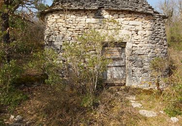
Marcilhac-sur-Célé - Boucle


Stappen
Gemakkelijk
Marcilhac-sur-Célé,
Occitanië,
Lot,
France

7,9 km | 10,8 km-effort
3h 3min
Ja
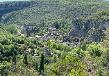
20240420 Marcilhac - Cabrerets


sport
Heel gemakkelijk
Marcilhac-sur-Célé,
Occitanië,
Lot,
France

22 km | 30 km-effort
Onbekend
Neen
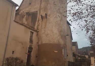
Marcilhac-sur-Célé


Stappen
Gemakkelijk
Marcilhac-sur-Célé,
Occitanië,
Lot,
France

7,4 km | 9,8 km-effort
2h 13min
Ja
Sauliac Monteils Blars


Stappen
Gemakkelijk
Sauliac-sur-Célé,
Occitanië,
Lot,
France

17,1 km | 24 km-effort
4h 21min
Ja


 SityTrail


