


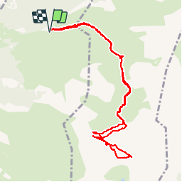


4,2 km | 6,8 km-effort

Gebruiker


Gratisgps-wandelapplicatie
 SityTrail
IGN / Geografische instituten
SityTrail World
De wereld gaat voor u open
Tocht Stappen van 11,2 km beschikbaar op Occitanië, Hautes-Pyrénées, Arras-en-Lavedan. Deze tocht wordt voorgesteld door pffrench.
problème de choix itineraires . prendre celui du retour, indiqué par las punaises rouges, "tracé confortable".
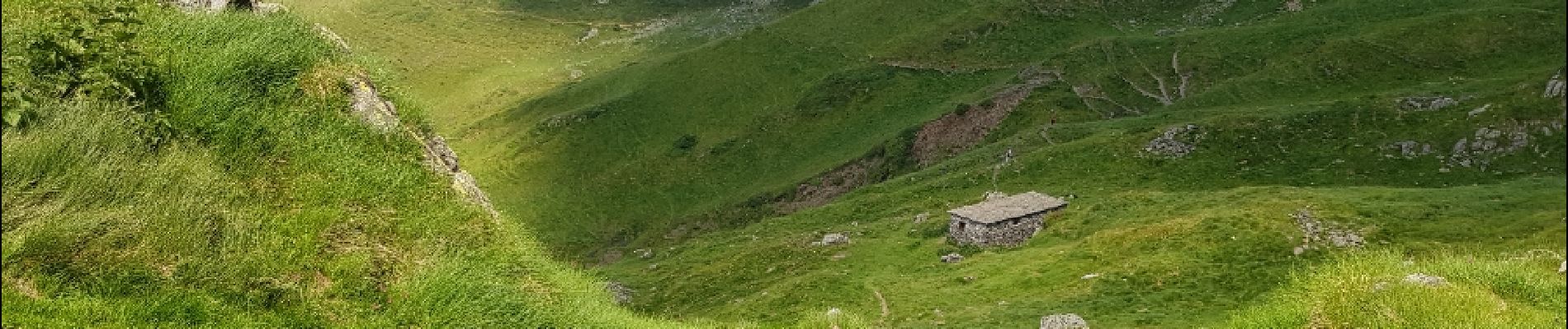
Par ailleurs, magnifique table d'orientation au sommet.
Eviter de se faire prendre par la mer de nuages, l'identification du chemin dans le brouillard peut etre difficile.


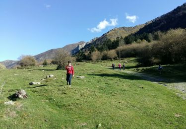
Stappen

Sneeuwschoenen

Stappen

Stappen

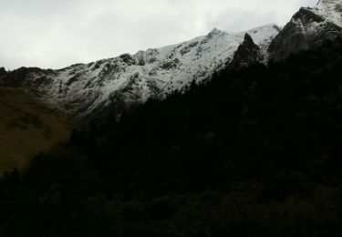
Wintersport
Wintersport

Stappen
Stappen
Stappen