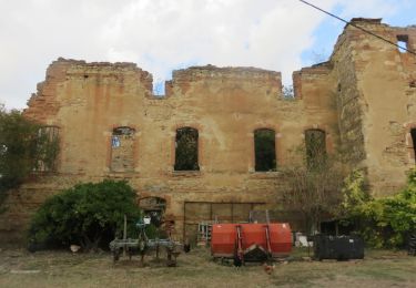

Esplas 2006

tracegps
Gebruiker

Lengte
52 km

Max. hoogte
441 m

Positief hoogteverschil
1231 m

Km-Effort
69 km

Min. hoogte
222 m

Negatief hoogteverschil
1235 m
Boucle
Ja
Datum van aanmaak :
2014-12-10 00:00:00.0
Laatste wijziging :
2014-12-10 00:00:00.0
4h00
Moeilijkheid : Zeer moeilijk

Gratisgps-wandelapplicatie
Over ons
Tocht Mountainbike van 52 km beschikbaar op Occitanië, Ariège, Esplas. Deze tocht wordt voorgesteld door tracegps.
Beschrijving
Toujours sur Esplas dans l'Ariège, un petit village proche de Saverdun, cette rando propose des paysages superbes et une bonne variété de chemins: un bon plan aux portes de Toulouse
Plaatsbepaling
Land:
France
Regio :
Occitanië
Departement/Provincie :
Ariège
Gemeente :
Esplas
Locatie:
Unknown
Vertrek:(Dec)
Vertrek:(UTM)
378000 ; 4782704 (31T) N.
Opmerkingen
Wandeltochten in de omgeving

St Martin d Oydes Esplas


Stappen
Gemakkelijk
Saint-Martin-d'Oydes,
Occitanië,
Ariège,
France

12,2 km | 16 km-effort
3h 26min
Ja

6487049-Boucle de Louise (18.08.16)


Te voet
Gemakkelijk
Gaillac-Toulza,
Occitanië,
Haute-Garonne,
France

9,4 km | 12,1 km-effort
2h 10min
Ja

brie justiniac


Stappen
Heel gemakkelijk
Brie,
Occitanië,
Ariège,
France

8 km | 10,1 km-effort
1h 38min
Ja

Gaillac Toulza:boucle de Louise


Stappen
Gemakkelijk
Gaillac-Toulza,
Occitanië,
Haute-Garonne,
France

9,4 km | 12,1 km-effort
2h 37min
Ja


Bajou Artigat fait 2022


Stappen
Medium
Artigat,
Occitanië,
Ariège,
France

11,8 km | 0 m-effort
2h 50min
Ja


Artigat Bajou


Stappen
Heel gemakkelijk
Artigat,
Occitanië,
Ariège,
France

10,6 km | 13,8 km-effort
2h 27min
Ja


 SityTrail


