


9,2 km | 11,6 km-effort

Gebruiker


Gratisgps-wandelapplicatie
 SityTrail
IGN / Geografische instituten
SityTrail World
De wereld gaat voor u open
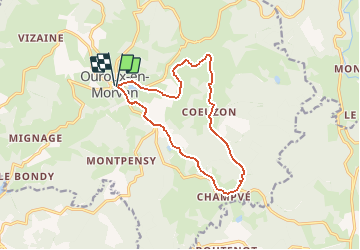
Tocht Mountainbike van 12,9 km beschikbaar op Bourgondië-Franche-Comté, Nièvre, Ouroux-en-Morvan. Deze tocht wordt voorgesteld door tracegps.
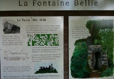
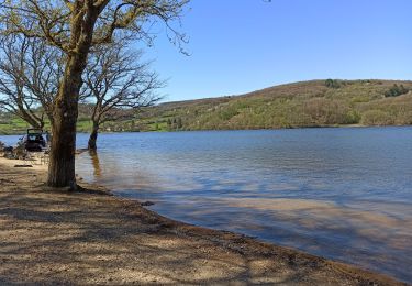
Espace VTT FFC du Parc du Morvan Circuit labellisé par la Fédération Française de Cyclisme. Situé en plein cœur du Parc Naturel régional du Morvan, idéalement situé entre les lacs de Pannecière et des Settons, Ouroux-en-Morvan, Village Vacances Authentique vous accueille dans un cadre paysager exceptionnel qui assouvira vos désirs de nature, de culture et de tradition. Ouroux-en-morvan, Station Verte de Vacances est le lieu idéal pour se ressourcer. D’autres infos sur le site du Parc du Morvan Après avoir quitté la Place de la Mairie, en direction de Planchez, partez à gauche en direction du hameau de « Coeuzon ». Suivre le circuit n°3 qui vous amène au Moulin Chicot, station de pompage créée en 1960 qui alimente en eau potable une partie des habitants d’Ouroux et de Chaumard.

Stappen

Stappen
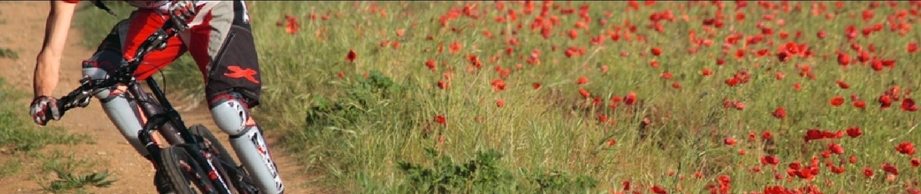
Mountainbike
Mountainbike

Mountainbike
Elektrische fiets

Motor
Stappen
Stappen