


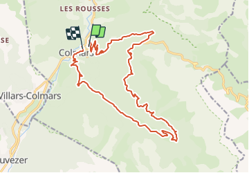


18,8 km | 29 km-effort


Gebruiker


Gratisgps-wandelapplicatie
 SityTrail
IGN / Geografische instituten
SityTrail World
De wereld gaat voor u open
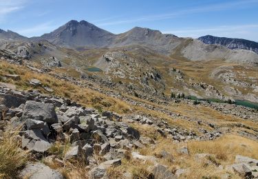
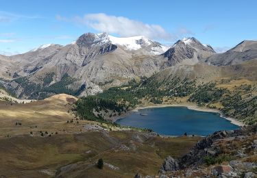
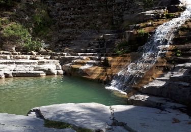
Tocht Mountainbike van 22 km beschikbaar op Provence-Alpes-Côte d'Azur, Alpes-de-Haute-Provence, Colmars. Deze tocht wordt voorgesteld door tracegps.
Pas de difficultes majeures. Montée par la route et fin de la montée en single. La descente n'a quasi aucune difficulte et reste plutot rapide.

Stappen

Stappen
Stappen
Stappen
Stappen
Stappen
Stappen
Stappen
Stappen