


6,9 km | 11,1 km-effort

Gebruiker


Gratisgps-wandelapplicatie
 SityTrail
IGN / Geografische instituten
SityTrail World
De wereld gaat voor u open
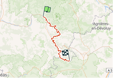
Tocht Mountainbike van 77 km beschikbaar op Auvergne-Rhône-Alpes, Drôme, Die. Deze tocht wordt voorgesteld door tracegps.
Edition 2007 Ce Raid VTT est destiné à promouvoir l'itinéraire permanent qui relie la vallée du Rhône aux Alpes du sud (Ouest-Est) et le Vercors à la Provence (Nord-Sud) dont vous trouverez de plus amples informations sur Les chemins du soleil. Cette épreuve est organisée par le Conseil Général de la Drôme en partenariat avec les villes de Die et Gap et les Hautes Alpes. Elle est composée de deux groupes de participants, Elite et Rando. Chacun des groupes a trois épreuves à réaliser et la troisième est commune aux deux groupes. Ce parcours est la première étape du groupe Rando.


Noords wandelen

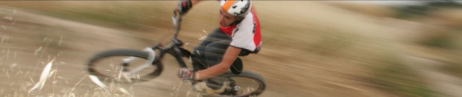
Mountainbike
Stappen

Stappen


sport

Stappen

Stappen

Stappen

sport