

Les Viellettes - Estaing

tracegps
Gebruiker

Lengte
13,1 km

Max. hoogte
1519 m

Positief hoogteverschil
818 m

Km-Effort
24 km

Min. hoogte
951 m

Negatief hoogteverschil
811 m
Boucle
Ja
Datum van aanmaak :
2014-12-10 00:00:00.0
Laatste wijziging :
2014-12-10 00:00:00.0
4h00
Moeilijkheid : Moeilijk

Gratisgps-wandelapplicatie
Over ons
Tocht Stappen van 13,1 km beschikbaar op Occitanië, Hautes-Pyrénées, Estaing. Deze tocht wordt voorgesteld door tracegps.
Beschrijving
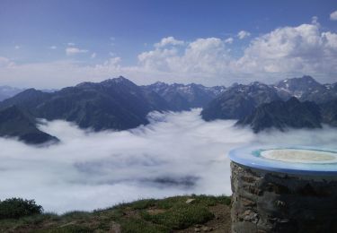
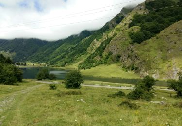
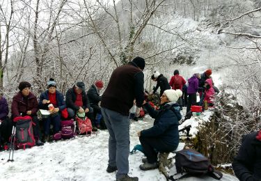
Un petit "bout" du tour du Val dAzun, une boucle au départ du gîte d’étape "les Viellettes" chez "Bubu", paysage magnifique. D’autres infos sur le site Rando.eu
Plaatsbepaling
Land:
France
Regio :
Occitanië
Departement/Provincie :
Hautes-Pyrénées
Gemeente :
Estaing
Locatie:
Unknown
Vertrek:(Dec)
Vertrek:(UTM)
729816 ; 4755993 (30T) N.
Opmerkingen
Wandeltochten in de omgeving
Le Cabaliros


Stappen
Moeilijk
(1)
Cauterets,
Occitanië,
Hautes-Pyrénées,
France

14,5 km | 29 km-effort
5h 0min
Ja
ESTAING RS le der de 2022


Stappen
Gemakkelijk
Estaing,
Occitanië,
Hautes-Pyrénées,
France

3,6 km | 5,1 km-effort
1h 5min
Ja
ARRENS MARSOUS Le Turon des aulhes 2906361


Stappen
Medium
(1)
Arrens-Marsous,
Occitanië,
Hautes-Pyrénées,
France

9,5 km | 16,4 km-effort
5h 55min
Ja
65-Lac_Bleu_ ILHEOU_12Km -680m


Stappen
Medium
Cauterets,
Occitanië,
Hautes-Pyrénées,
France

12,2 km | 21 km-effort
4h 49min
Ja
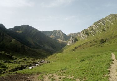
2023-09-07 Lac dHiléou


Stappen
Medium
Cauterets,
Occitanië,
Hautes-Pyrénées,
France

11,4 km | 20 km-effort
3h 35min
Ja
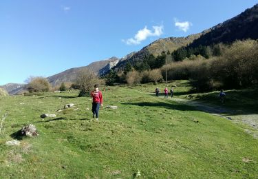
ESTAING autour du lac


Stappen
Gemakkelijk
Estaing,
Occitanië,
Hautes-Pyrénées,
France

3,7 km | 5,3 km-effort
1h 9min
Ja
ESTAING et la cabane d'Ariousse "enfin presque" G3 3409014


Stappen
Moeilijk
Estaing,
Occitanië,
Hautes-Pyrénées,
France

10,3 km | 14,8 km-effort
2h 49min
Ja
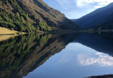
Ruines et lac de Liantran


Stappen
Gemakkelijk
Estaing,
Occitanië,
Hautes-Pyrénées,
France

17,7 km | 28 km-effort
6h 45min
Ja
ARRENS-MARSOUS le chemin de la mine G4 3059377


Stappen
Medium
Arrens-Marsous,
Occitanië,
Hautes-Pyrénées,
France

11,2 km | 14,6 km-effort
3h 23min
Ja


 SityTrail


sympa