


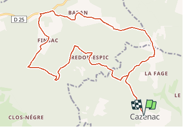

12,9 km | 17,3 km-effort


Gebruiker


Gratisgps-wandelapplicatie
 SityTrail
IGN / Geografische instituten
SityTrail World
De wereld gaat voor u open
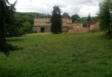
Tocht Stappen van 13,5 km beschikbaar op Nieuw-Aquitanië, Dordogne, Beynac-et-Cazenac. Deze tocht wordt voorgesteld door tracegps.
Toujours départ de l’église de Cazenac, un peu plus longue et difficile que la précédente à cause des dénivellés. Tout est expliqué sur le site Rando.eu
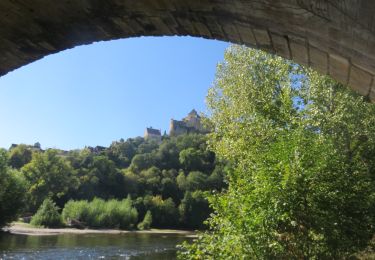
 - Photo 1")
Stappen
Stappen
Stappen

Stappen

Stappen
Stappen
Motor

Stappen

Stappen