

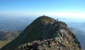
Pic de Montaigu par le Col de Moulata

tracegps
Gebruiker

Lengte
7 km

Max. hoogte
2321 m

Positief hoogteverschil
741 m

Km-Effort
14,8 km

Min. hoogte
1641 m

Negatief hoogteverschil
118 m
Boucle
Neen
Datum van aanmaak :
2014-12-10 00:00:00.0
Laatste wijziging :
2014-12-10 00:00:00.0
3h00
Moeilijkheid : Zeer moeilijk

Gratisgps-wandelapplicatie
Over ons
Tocht Stappen van 7 km beschikbaar op Occitanië, Hautes-Pyrénées, Gazost. Deze tocht wordt voorgesteld door tracegps.
Beschrijving
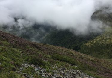
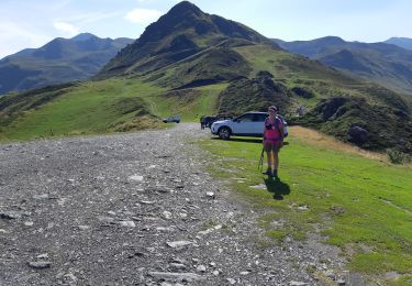
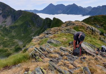
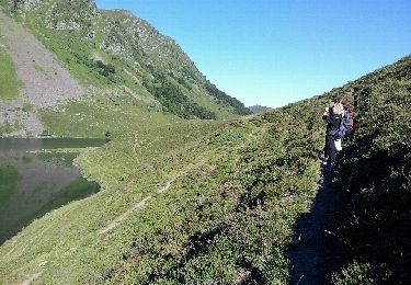
Quelques passages raides et un peu impressionnants entre le PIC DE LHENS (2084m)et le MONTAIGU (utilisation des mains).... Tous les conseils et les descriptions sont sur Montagne Cool Proposé par Imag'In Pyrénées
Plaatsbepaling
Land:
France
Regio :
Occitanië
Departement/Provincie :
Hautes-Pyrénées
Gemeente :
Gazost
Locatie:
Unknown
Vertrek:(Dec)
Vertrek:(UTM)
255991 ; 4761650 (31T) N.
Opmerkingen
Wandeltochten in de omgeving
Lac d'Ourrec depuis Hautacam


Stappen
Gemakkelijk
(1)
Beaucens,
Occitanië,
Hautes-Pyrénées,
France

13 km | 20 km-effort
4h 15min
Ja
HAUTACAM lac dets plagnous "3750368"


Stappen
Medium
Beaucens,
Occitanië,
Hautes-Pyrénées,
France

7,8 km | 10,9 km-effort
2h 28min
Ja
2019-07-31_15h54m36_20190731065058-08125-data


Stappen
Moeilijk
Beaucens,
Occitanië,
Hautes-Pyrénées,
France

10,1 km | 16,9 km-effort
3h 27min
Ja
soum de lascours aléas bis


Stappen
Medium
Beaucens,
Occitanië,
Hautes-Pyrénées,
France

18 km | 33 km-effort
5h 55min
Ja
Retour voiture 28 juin 2023 hautacam


Stappen
Gemakkelijk
Beaucens,
Occitanië,
Hautes-Pyrénées,
France

3,9 km | 5,3 km-effort
1h 41min
Neen
Le Pic du Mont - Hautacam


Sneeuwschoenen
Medium
Beaucens,
Occitanië,
Hautes-Pyrénées,
France

8,7 km | 15,6 km-effort
5h 10min
Ja
Le Pic de Montaigu par les crêtes - Beaucens


Stappen
Moeilijk
Beaucens,
Occitanië,
Hautes-Pyrénées,
France

14,4 km | 24 km-effort
6h 30min
Ja

hautacam


Sneeuwschoenen
Moeilijk
Beaucens,
Occitanië,
Hautes-Pyrénées,
France

14,2 km | 24 km-effort
6h 8min
Ja
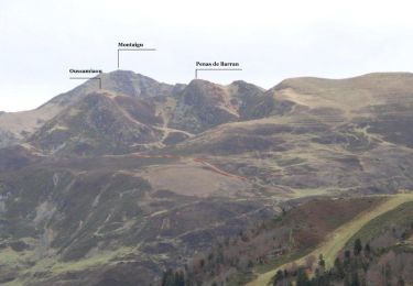
Crête de Penas de Barran - Hautacam


Stappen
Moeilijk
Beaucens,
Occitanië,
Hautes-Pyrénées,
France

13,6 km | 24 km-effort
6h 0min
Ja


 SityTrail


bonne rando faut pas du brouillard