

Montgesty

tracegps
Gebruiker

Lengte
7,6 km

Max. hoogte
312 m

Positief hoogteverschil
159 m

Km-Effort
9,7 km

Min. hoogte
184 m

Negatief hoogteverschil
160 m
Boucle
Ja
Datum van aanmaak :
2014-12-10 00:00:00.0
Laatste wijziging :
2014-12-10 00:00:00.0
2h30
Moeilijkheid : Medium

Gratisgps-wandelapplicatie
Over ons
Tocht Stappen van 7,6 km beschikbaar op Occitanië, Lot, Montgesty. Deze tocht wordt voorgesteld door tracegps.
Beschrijving
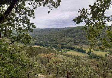
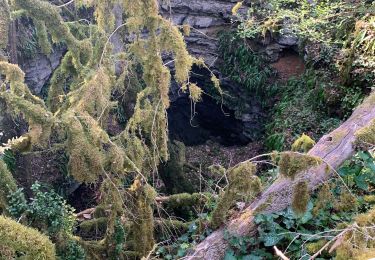
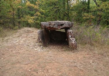
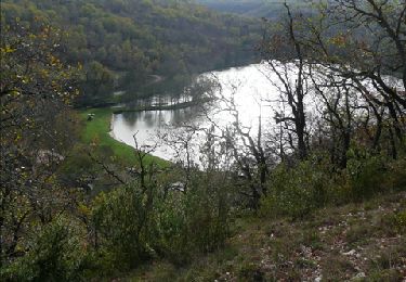
Belle balade pour tous, moulin à vent, menhir, pierres sèches, cabanes...agrémentent cette promenade sans difficultés particulières. D'autres infos pour une belle promenade sur Rando.eu
Plaatsbepaling
Land:
France
Regio :
Occitanië
Departement/Provincie :
Lot
Gemeente :
Montgesty
Locatie:
Unknown
Vertrek:(Dec)
Vertrek:(UTM)
364721 ; 4937624 (31T) N.
Opmerkingen
Wandeltochten in de omgeving

Catus,Rostassac,Catus


Noords wandelen
Medium
Catus,
Occitanië,
Lot,
France

18,1 km | 24 km-effort
2h 56min
Ja

Catus-le Gravenas_Vilary_Combe du Loup 4,6


Stappen
Heel gemakkelijk
Catus,
Occitanië,
Lot,
France

4,6 km | 6,3 km-effort
2h 33min
Ja

Catus Vilary_Mas de Fraysse 5,3


Stappen
Heel gemakkelijk
Catus,
Occitanië,
Lot,
France

5,3 km | 7,2 km-effort
1h 26min
Ja

Raynal


sport
Heel gemakkelijk
Saint-Médard,
Occitanië,
Lot,
France

6,1 km | 8,6 km-effort
Onbekend
Ja
Les Marines 7,5


Stappen
Heel gemakkelijk
Catus,
Occitanië,
Lot,
France

7,5 km | 9,4 km-effort
2h 22min
Ja


 SityTrail


