


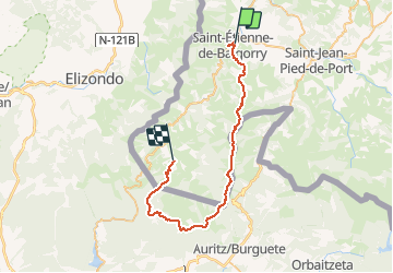

5,8 km | 10 km-effort

Gebruiker


Gratisgps-wandelapplicatie
 SityTrail
IGN / Geografische instituten
SityTrail World
De wereld gaat voor u open
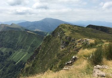
Tocht Lopen van 42 km beschikbaar op Nieuw-Aquitanië, Pyrénées-Atlantiques, Saint-Étienne-de-Baïgorry. Deze tocht wordt voorgesteld door tracegps.
Le Pays basque est un formidable terrain d’aventure offrant de larges possibilités de sports nature. C’est ce pays et la vallée de Baïgorry que vous invitent à découvrir les membres d’EUSKAL RAID ASSOCIATION. Leur volonté : faire partager émotions sportives et conviviales au plus grand nombre. Grace aussi aux Ultra fondus !


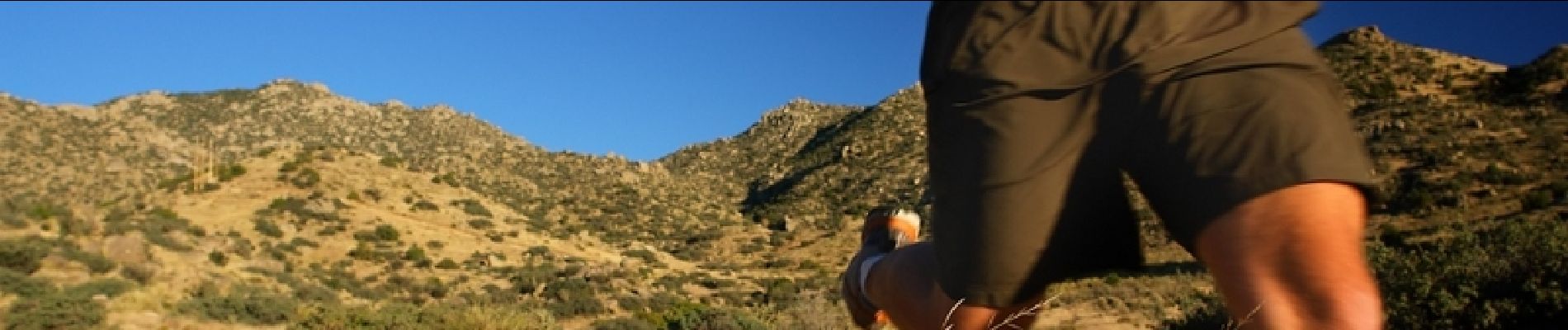
Te voet

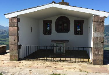
Stappen

Stappen

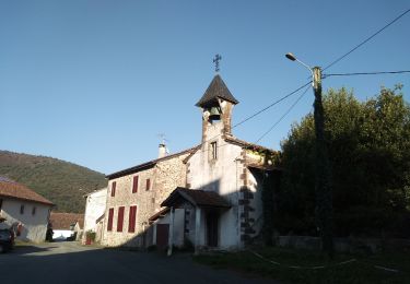
Stappen

Stappen
Stappen

Stappen
Stappen
Stappen