


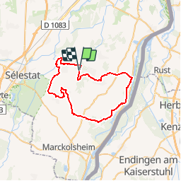

6,2 km | 6,6 km-effort

Gebruiker


Gratisgps-wandelapplicatie
 SityTrail
IGN / Geografische instituten
SityTrail World
De wereld gaat voor u open
Tocht Mountainbike van 45 km beschikbaar op Grand Est, Bas-Rhin, Muttersholtz. Deze tocht wordt voorgesteld door tracegps.
Attention, le balisage n'est plus supporté par l'Office du Tourisme de Marckolsheim. Pensez à reporter le topo sur les cartes IGN. Le topo de l'Office du Tourisme n'est pas très clair sur le parcours autour d'Ehnwihr. Un peu d'improvisation n'est pas à exclure. Voir les mises à jour et une carte ICI

Te voet
Te voet

Paardrijden
Stappen
Stappen
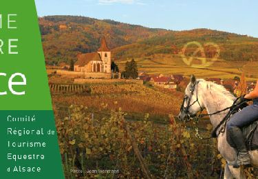
Paardrijden

Paardrijden
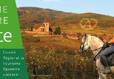
Paardrijden

Paardrijden