


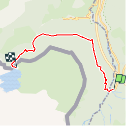

10,4 km | 19,6 km-effort

Gebruiker


Gratisgps-wandelapplicatie
 SityTrail
IGN / Geografische instituten
SityTrail World
De wereld gaat voor u open
Tocht Stappen van 5,2 km beschikbaar op Nieuw-Aquitanië, Pyrénées-Atlantiques, Urdos. Deze tocht wordt voorgesteld door tracegps.
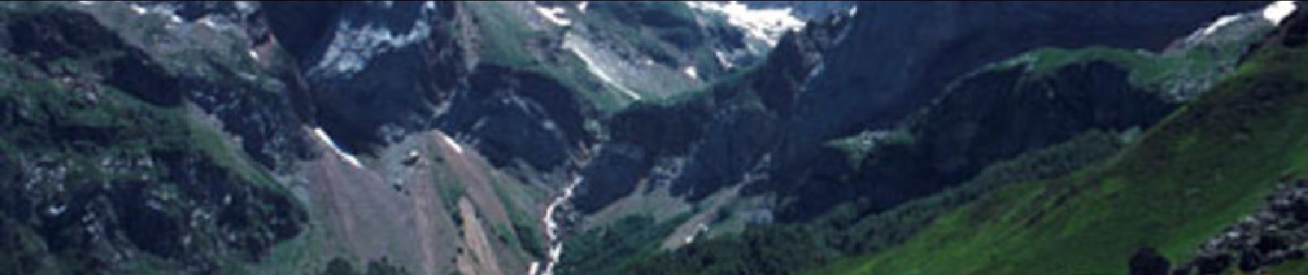
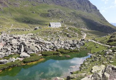
Balade d'été ou en raquettes, elle peut se faire en famille ! Proposé par Imag'In Pyrénées , retrouvez toutes les autres infos et photos ICI


Te voet
Te voet

Te voet

Stappen
Stappen

Stappen

Stappen

Stappen
Stappen