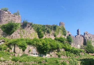
22 km | 33 km-effort
Le TransVal
tracegps
Gebruiker
Lengte
32 km
Max. hoogte
611 m
Positief hoogteverschil
859 m
Km-Effort
43 km
Min. hoogte
200 m
Negatief hoogteverschil
858 m
Boucle
Ja
Datum van aanmaak :
2014-12-10 00:00:00.0
Laatste wijziging :
2014-12-10 00:00:00.0
3h00
Moeilijkheid : Moeilijk
Gratisgps-wandelapplicatie
Over ons
Tocht Mountainbike van 32 km beschikbaar op Grand Est, Bas-Rhin, Thanvillé. Deze tocht wordt voorgesteld door tracegps.
Beschrijving
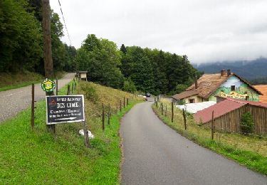
Source Benoit. D'autres infos sont ICI
Plaatsbepaling
Land:
France
Regio :
Grand Est
Departement/Provincie :
Bas-Rhin
Gemeente :
Thanvillé
Locatie:
Unknown
Vertrek:(Dec)
Vertrek:(UTM)
377619 ; 5353210 (32U) N.
Opmerkingen
Wandeltochten in de omgeving
St Pierre Bois - Ortembourg 14062014
Paard
Heel gemakkelijk
(1)
Saint-Pierre-Bois,
Grand Est,
Bas-Rhin,
France
25 km | 36 km-effort
5h 14min
Ja
Le Haut Koenigsbourg de Val de Ville
Stappen
Moeilijk
(1)
Châtenois,
Grand Est,
Bas-Rhin,
France
16,8 km | 25 km-effort
5h 0min
Ja
Circuit de la Gadouille
Mountainbike
Moeilijk
(3)
Thanvillé,
Grand Est,
Bas-Rhin,
France
18,4 km | 27 km-effort
1h 40min
Ja
suuntoapp-Hiking-2023-12-26T08-42-47Z
Stappen
Zeer moeilijk
Dambach-la-Ville,
Grand Est,
Bas-Rhin,
France
14,3 km | 21 km-effort
4h 43min
Ja
2020-05-21 Marche La Vancelle Boucle
Stappen
Heel gemakkelijk
La Vancelle,
Grand Est,
Bas-Rhin,
France
16,3 km | 26 km-effort
6h 41min
Ja
17.05.2020 - Saint Martin
Stappen
Gemakkelijk
(1)
Saint-Martin,
Grand Est,
Bas-Rhin,
France
12,2 km | 17,7 km-effort
3h 56min
Ja
2015-01-02 Marche Rocher du Coucou Chateau Frankenbourg
Stappen
Gemakkelijk
(1)
La Vancelle,
Grand Est,
Bas-Rhin,
France
10,9 km | 18,1 km-effort
3h 47min
Ja
chateau de ortenbourg
Stappen
Heel gemakkelijk
(1)
Scherwiller,
Grand Est,
Bas-Rhin,
France
4,6 km | 7,9 km-effort
1h 29min
Ja