


33 km | 46 km-effort

Gebruiker


Gratisgps-wandelapplicatie
 SityTrail
IGN / Geografische instituten
SityTrail World
De wereld gaat voor u open
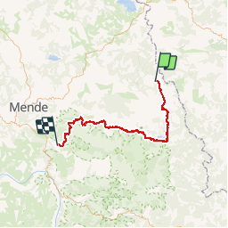
Tocht Mountainbike van 74 km beschikbaar op Occitanië, Lozère, La Bastide-Puylaurent. Deze tocht wordt voorgesteld door tracegps.
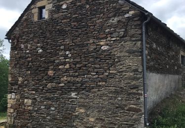
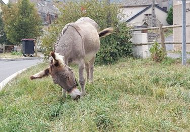
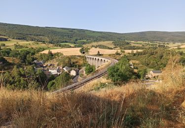
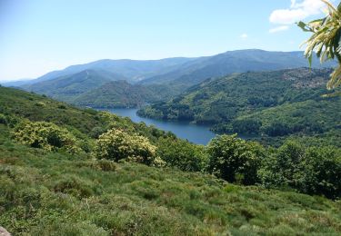
27 Mai 2005 4ème étape de Valence Lalo 2005 C'est l'étape la plus longue mais elle se termine par un gîte.. Le départ du camping de la Bastide se fait par un passage de rivière très froide. Ensuite, on enchaîne par la voie Régordane pour arriver au super village médiéval de la Garde- Guérin. Passage au Lac de Villefort, au Bleymard et arrivé au gîte de La Fage. La suite est ICI


Stappen

Stappen

Stappen
Stappen
Stappen
Stappen
Stappen
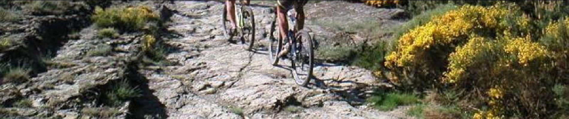
Mountainbike
Stappen