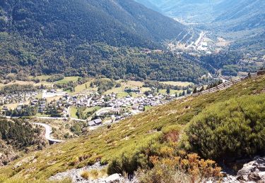

Pic de la Coume d'Or

tracegps
Gebruiker

Lengte
6,9 km

Max. hoogte
2807 m

Positief hoogteverschil
916 m

Km-Effort
16,3 km

Min. hoogte
1918 m

Negatief hoogteverschil
68 m
Boucle
Neen
Datum van aanmaak :
2014-12-10 00:00:00.0
Laatste wijziging :
2014-12-10 00:00:00.0
3h00
Moeilijkheid : Moeilijk

Gratisgps-wandelapplicatie
Over ons
Tocht Stappen van 6,9 km beschikbaar op Occitanië, Pyrénées-Orientales, Porté-Puymorens. Deze tocht wordt voorgesteld door tracegps.
Beschrijving
Au départ du Col de Puymorens, un superbe sommet pas trop difficile d'accès, même en raquettes. Attention au vent parfois très violent. Belle vue sur l'étang de Lanoux et le pic de Carlit (2921 m), mais aussi sur l'Andorre.
Plaatsbepaling
Land:
France
Regio :
Occitanië
Departement/Provincie :
Pyrénées-Orientales
Gemeente :
Porté-Puymorens
Locatie:
Unknown
Vertrek:(Dec)
Vertrek:(UTM)
402274 ; 4712716 (31T) N.
Opmerkingen
Wandeltochten in de omgeving

Le Puig de Coma d'Or


Stappen
Zeer moeilijk
(2)
Porté-Puymorens,
Occitanië,
Pyrénées-Orientales,
France

15,5 km | 28 km-effort
7h 0min
Ja

Tour du Nérassol


Stappen
Moeilijk
(2)
L'Hospitalet-près-l'Andorre,
Occitanië,
Ariège,
France

13,5 km | 27 km-effort
4h 0min
Ja

étang des Bésines


Stappen
Gemakkelijk
(1)
L'Hospitalet-près-l'Andorre,
Occitanië,
Ariège,
France

15,5 km | 25 km-effort
5h 14min
Ja

2022 TRANSPYRÉNÉENNE : refuge des Bésines - barrage des Bouillouesses - Super...


Stappen
Medium
Mérens-les-Vals,
Occitanië,
Ariège,
France

29 km | 42 km-effort
6h 33min
Neen

Pic dels Pedrons


Stappen
Medium
Porta,
Occitanië,
Pyrénées-Orientales,
France

7,8 km | 17,9 km-effort
6h 25min
Ja

Porté Puy moreins


Stappen
Medium
Porté-Puymorens,
Occitanië,
Pyrénées-Orientales,
France

13,4 km | 22 km-effort
3h 53min
Ja

campcardos par porta et couloir


Stappen
Zeer moeilijk
Porta,
Occitanië,
Pyrénées-Orientales,
France

17,2 km | 36 km-effort
3h 54min
Ja

Le chemin des ingénieurs


Stappen
Gemakkelijk
Porté-Puymorens,
Occitanië,
Pyrénées-Orientales,
France

14,6 km | 21 km-effort
3h 50min
Ja

Etangs du Sisca


Stappen
Medium
(1)
L'Hospitalet-près-l'Andorre,
Occitanië,
Ariège,
France

12,9 km | 23 km-effort
4h 44min
Ja


 SityTrail


