Tocht Stappen Montberon - Montberon Labastide St Sernin Villaries - Photo

Montberon Labastide St Sernin Villaries

 tracegps
tracegps

Gebruiker

© OpenStreetMap contributors
Lengte
Lengte
15,3 km
Max. hoogte
Max. hoogte
193 m
Positief hoogteverschil
156 m
Km-Effort
Km-Effort  
17,3 km
Min. hoogte
Min. hoogte
126 m
Negatief hoogteverschil
154 m
Boucle
Boucle
Ja
Datum van aanmaak :
2014-12-10 00:00:00.0
Laatste wijziging :
2014-12-10 00:00:00.0

(0 Bericht)

Stappen
Stappen
3h00
Moeilijkheid : Medium

Scan deze QR-code om de tocht te openen in de SityTrail-applicatie

Gratisgps-wandelapplicatie

Logo SityTrail SityTrail

IGN / Geografische instituten

SityTrail uit de App Store downloaden SityTrail uit Google Play downloaden

Logo SityTrail SityTrail World

De wereld gaat voor u open

SityTrail uit de App Store downloaden SityTrail uit Google Play downloaden SityTrail op Huawei AppGallery downloaden

Over ons

Tocht Stappen van 15,3 km beschikbaar op Occitanië, Haute-Garonne, Montberon. Deze tocht wordt voorgesteld door tracegps.

Beschrijving

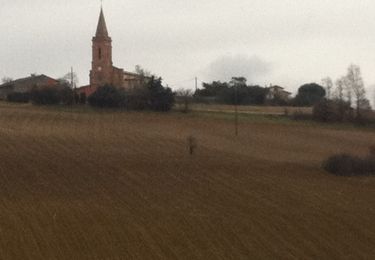
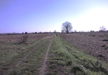
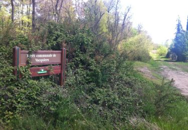
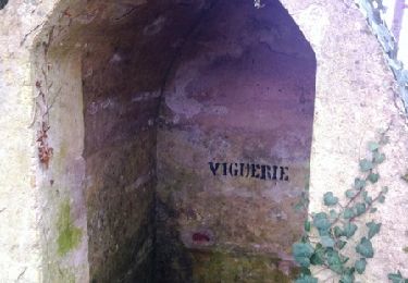
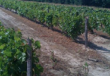
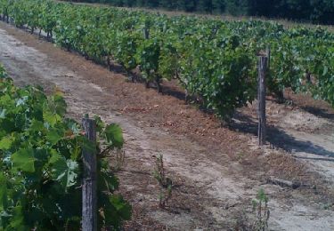
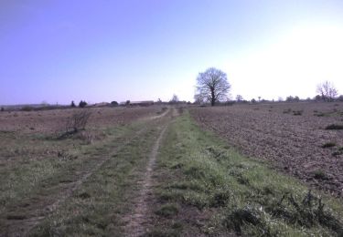
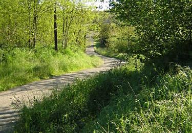
Dès le départ, on trouve un beau chemin qui traverse le Bois Grand avant d'arriver à Labastide St Sernin. Puis le plat pays, c'est la vallée du Girou avant d'attaquer la grimpette vers Villaries. On redescend par des chemins insoupçonnés en contournant le Château de Viguerie. Puis on emprunte une partie du Chemin du Poutou pour retrouver Montberon.

Hoogteprofiel

Foto's

Plaatsbepaling

Land:
France
Regio :
Occitanië
Departement/Provincie :
Haute-Garonne
Gemeente :
Montberon
Locatie:
Unknown
Vertrek:(Dec)
Vertrek:(UTM)
377560 ; 4841439 (31T) N.

Wandeltochten in de omgeving

Tocht Stappen Villariès - De Villariès à Vacquiers - Photo
Stappen
tracegps

Stappen

Medium
(1)
Villariès, Occitanië, Haute-Garonne, France
11,5 km | 13,4 km-effort
3h 0min
Ja
Tocht Stappen Castelginest - Le long de l'Hers à Castelginest - Photo
Stappen
tracegps

Stappen

Gemakkelijk
(1)
Castelginest, Occitanië, Haute-Garonne, France
6,8 km | 7,2 km-effort
1h 30min
Ja
Tocht Mountainbike Gargas - VTT dans le Frontonnais entre Gargas, Vacquiers et Montjoire - Photo
Mountainbike
tracegps

Mountainbike

Medium
(1)
Gargas, Occitanië, Haute-Garonne, France
29 km | 35 km-effort
2h 30min
Ja
Tocht Stappen Pechbonnieu - 7 km dans 1 km - Photo
Stappen
zazibelle

Stappen

Medium
Pechbonnieu, Occitanië, Haute-Garonne, France
7,1 km | 8,7 km-effort
1h 34min
Ja
Tocht Lopen Villariès - De Villariès à Vacquiers - Photo
Lopen
tracegps

Lopen

Medium
Villariès, Occitanië, Haute-Garonne, France
11,5 km | 13,4 km-effort
1h 15min
Ja
Tocht Lopen Labastide-Saint-Sernin - Le Bois de Lespasié au dessus de Labastide Saint Sernin - Photo
Lopen
tracegps

Lopen

Medium
Labastide-Saint-Sernin, Occitanië, Haute-Garonne, France
6,5 km | 7,5 km-effort
40min
Ja
Tocht Stappen Labastide-Saint-Sernin - Le Bois de Lespasié au dessus de Labastide Saint Sernin - Photo
Stappen
tracegps

Stappen

Medium
(1)
Labastide-Saint-Sernin, Occitanië, Haute-Garonne, France
6,5 km | 7,5 km-effort
1h 49min
Ja
Tocht Lopen Castelginest - Le long de l'Hers à Castelginest - Photo
Lopen
tracegps

Lopen

Gemakkelijk
Castelginest, Occitanië, Haute-Garonne, France
6,8 km | 7,2 km-effort
40min
Ja
Tocht Lopen Launaguet - Course à pied gps à Launaguet - Chemin du Poutou - Photo
Lopen
tracegps

Lopen

Moeilijk
Launaguet, Occitanië, Haute-Garonne, France
18,7 km | 22 km-effort
1h 30min
Ja


Sluiten
Mijn abonnementen