

A Gardouch sans les moufles !

tracegps
Gebruiker

Lengte
18,3 km

Max. hoogte
254 m

Positief hoogteverschil
231 m

Km-Effort
21 km

Min. hoogte
162 m

Negatief hoogteverschil
231 m
Boucle
Ja
Datum van aanmaak :
2014-12-10 00:00:00.0
Laatste wijziging :
2014-12-10 00:00:00.0
3h30
Moeilijkheid : Moeilijk

Gratisgps-wandelapplicatie
Over ons
Tocht Stappen van 18,3 km beschikbaar op Occitanië, Haute-Garonne, Gardouch. Deze tocht wordt voorgesteld door tracegps.
Beschrijving
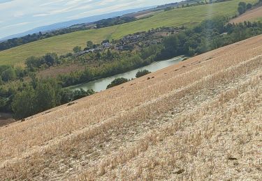
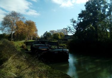
Gardouch, drôle d'architecture à St Rome, Belle cote entre Vieillevigne et Gardouch avec un double point de vue de part et d'autre du coteau. Encore une découverte de Jean Pierre Esquirol !
Plaatsbepaling
Land:
France
Regio :
Occitanië
Departement/Provincie :
Haute-Garonne
Gemeente :
Gardouch
Locatie:
Unknown
Vertrek:(Dec)
Vertrek:(UTM)
393356 ; 4805182 (31T) N.
Opmerkingen
Wandeltochten in de omgeving
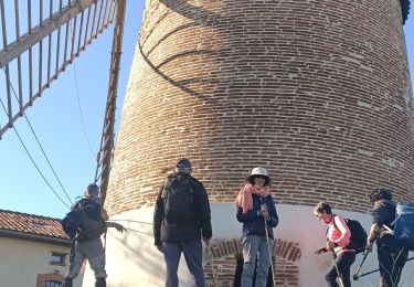
Les deux bastides Royales


Stappen
Moeilijk
Nailloux,
Occitanië,
Haute-Garonne,
France

12,1 km | 15,7 km-effort
3h 12min
Ja
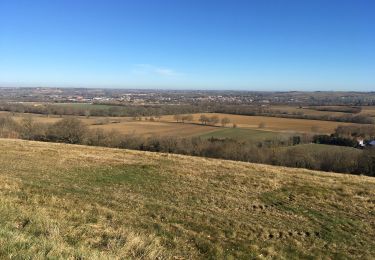
Canal du Midi


Stappen
Moeilijk
Gardouch,
Occitanië,
Haute-Garonne,
France

10,5 km | 12,7 km-effort
2h 32min
Ja
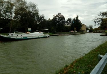
mardi 20 octobre


Stappen
Heel gemakkelijk
Montesquieu-Lauragais,
Occitanië,
Haute-Garonne,
France

12 km | 13,7 km-effort
2h 40min
Ja
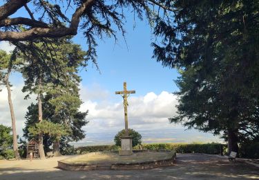
Boucle autour de Montréal


Stappen
Medium
Montgeard,
Occitanië,
Haute-Garonne,
France

56 km | 73 km-effort
2h 44min
Neen
Le canal du Midi


Stappen
Moeilijk
Gardouch,
Occitanië,
Haute-Garonne,
France

11,2 km | 12,1 km-effort
2h 34min
Neen
Nailloux


Stappen
Medium
Nailloux,
Occitanië,
Haute-Garonne,
France

7,1 km | 8,8 km-effort
1h 47min
Ja
Les Collines du Lauragais


Stappen
Gardouch,
Occitanië,
Haute-Garonne,
France

8,3 km | 10,1 km-effort
2h 21min
Ja
lamarasse2h15


Stappen
Heel gemakkelijk
Vieillevigne,
Occitanië,
Haute-Garonne,
France

10,1 km | 10,9 km-effort
2h 9min
Neen


 SityTrail


