


19,9 km | 27 km-effort
Valle d'Aosta: Ontdek de beste tochten: 3 wegfiets, 9 mountainbike en 1 hybride fiets. Al deze tochten, trajecten, routes en outdoor activiteiten zijn beschikbaar in onze SityTrail-apps voor smartphones en tablets.
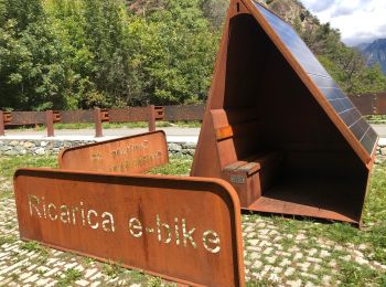
Hybride fiets


Mountainbike

Mountainbike
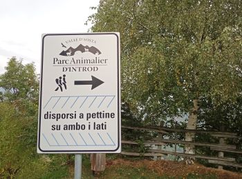
Mountainbike
• VTT TMB J4
Mountainbike
• VTT TMB J3
Mountainbike
•
Mountainbike
Wegfiets
Wegfiets
Wegfiets
Mountainbike
Mountainbike
Mountainbike
13 tochten weergegeven op 13
Gratisgps-wandelapplicatie
 SityTrail
IGN / Geografische instituten
SityTrail World
De wereld gaat voor u open