


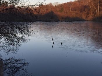
26 km | 31 km-effort
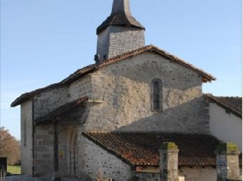
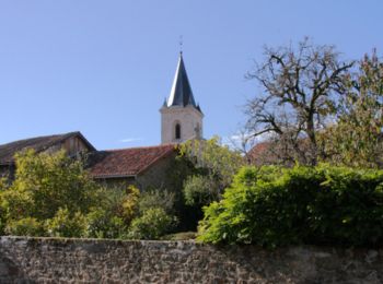
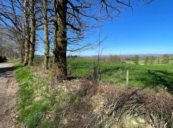
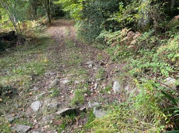
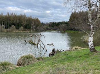
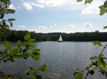
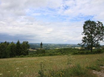
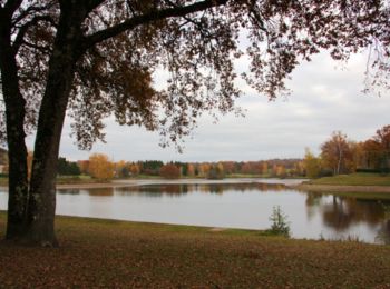
Haute-Vienne: Ontdek de beste tochten: 6 fiets, 10 wegfiets, 218 mountainbike, 4 hybride fiets, 4 fietstoerisme en 15 elektrische fiets. Al deze tochten, trajecten, routes en outdoor activiteiten zijn beschikbaar in onze SityTrail-apps voor smartphones en tablets.
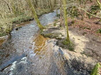
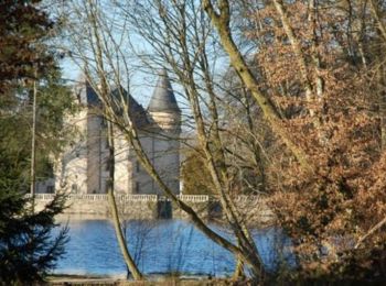
Mountainbike


Mountainbike
Mountainbike
Mountainbike

Mountainbike
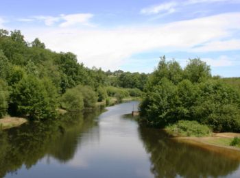
Fiets
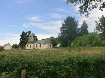
• Boucle pour aller voir le Champignon
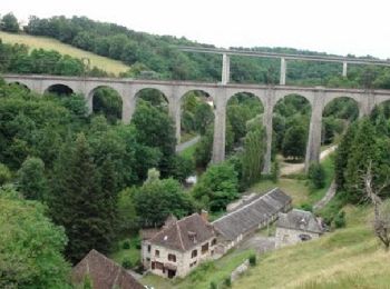
Mountainbike
Mountainbike
Mountainbike
Mountainbike

Mountainbike

Mountainbike
Mountainbike
Mountainbike
Mountainbike
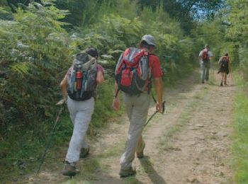
• Des Racines et des Cailloux mais aussi des plages
Mountainbike
Mountainbike
Mountainbike
Mountainbike
Mountainbike
20 tochten weergegeven op 257
Gratisgps-wandelapplicatie
 SityTrail
IGN / Geografische instituten
SityTrail World
De wereld gaat voor u open