


181 km | 226 km-effort
Le Caylar: Ontdek de beste tochten: 1 fiets, 7 mountainbike en 1 elektrische fiets. Al deze tochten, trajecten, routes en outdoor activiteiten zijn beschikbaar in onze SityTrail-apps voor smartphones en tablets.
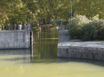
Mountainbike


Fiets
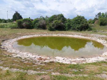
Mountainbike

Elektrische fiets
• Encours
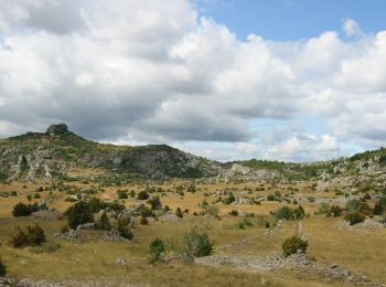
Mountainbike
• 18-08-2017 - Rando FFC - Avec Jérémie
Mountainbike
• Superbes paysages. Randonnée faite sur 2 jours. 1ère étape Le Caylar-Cabrières (90kms environs) un peu longue à mon a...
Mountainbike
Mountainbike
Mountainbike
9 tochten weergegeven op 9
Gratisgps-wandelapplicatie
 SityTrail
IGN / Geografische instituten
SityTrail World
De wereld gaat voor u open