


5,8 km | 6,9 km-effort
Aigne: Ontdek de beste tochten: 4 mountainbike. Al deze tochten, trajecten, routes en outdoor activiteiten zijn beschikbaar in onze SityTrail-apps voor smartphones en tablets.
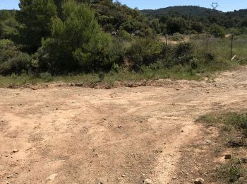
Mountainbike


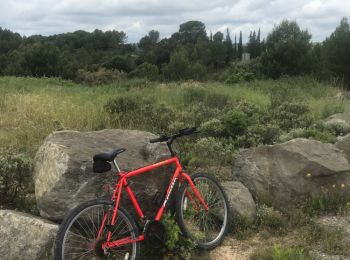
Mountainbike
• From Aigne to the Serre along quiet roads and tracks before narrower paths
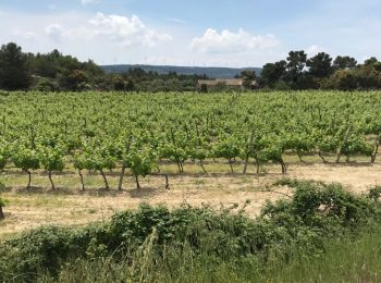
Mountainbike
• Quiet metalled roads to Mailhac then easy dirt tracks back to Aigne before another quiet tarmacadam road.

Mountainbike
4 tochten weergegeven op 4
Gratisgps-wandelapplicatie
 SityTrail
IGN / Geografische instituten
SityTrail World
De wereld gaat voor u open