


26 km | 34 km-effort
Narbonne: Ontdek de beste tochten: 3 fiets, 3 wegfiets, 38 mountainbike, 8 hybride fiets, 3 fietstoerisme en 8 elektrische fiets. Al deze tochten, trajecten, routes en outdoor activiteiten zijn beschikbaar in onze SityTrail-apps voor smartphones en tablets.

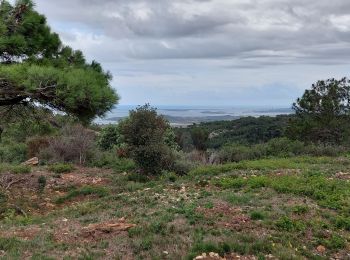
Mountainbike


Mountainbike
Wegfiets
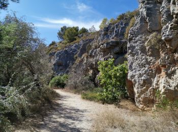
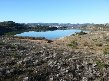
Mountainbike
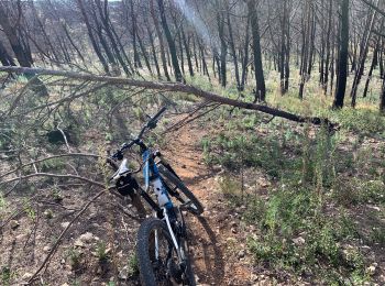
Mountainbike
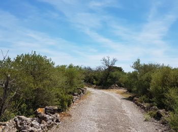
Mountainbike
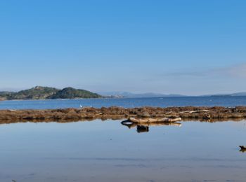
Mountainbike
Mountainbike
Mountainbike
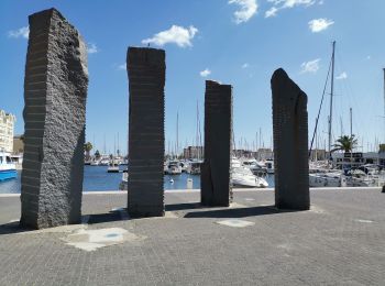
Fietstoerisme
• Het is even zoeken om weg te raken uit het drukke Narbonne via een fietsvriendelijke route. Na enkele correcties omwi...
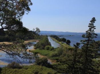
Fiets
Mountainbike
Mountainbike
Mountainbike
Mountainbike
Mountainbike
Mountainbike
Mountainbike
Mountainbike
Mountainbike
20 tochten weergegeven op 63
Gratisgps-wandelapplicatie
 SityTrail
IGN / Geografische instituten
SityTrail World
De wereld gaat voor u open