


10,9 km | 13,6 km-effort
Hautes-Alpes: Ontdek de beste tochten: 62 fiets, 196 wegfiets, 757 mountainbike, 16 hybride fiets, 8 fietstoerisme en 88 elektrische fiets. Al deze tochten, trajecten, routes en outdoor activiteiten zijn beschikbaar in onze SityTrail-apps voor smartphones en tablets.
Mountainbike


• 10 km aan bospaden voor startende mountainbikers. aangename route met mooie uitkijkpunten. Ook leuk voor een eerste k...
Mountainbike
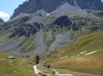
• Zware route: reken meer dan 2 uur klimmen vanaf de camping om de top te bereiken. Prachtig bosweg. Alleen de laatste ...
Mountainbike
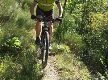
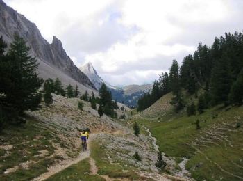
• Heb je maar twee uaurtjes beschikbaar en wil je plezier hebben op een Single Track? Dan is dit de ideale route! Vana...
Mountainbike
• Voor een eerste kennismaking met een bike trail, die kenners 'single track' of 'single' noemen, in tegenstelling tot...
Mountainbike
• Gemakkelijke route geschikt voor beginners. Start mogelijk vanaf de camping zonder de weg over te steken.
Wegfiets
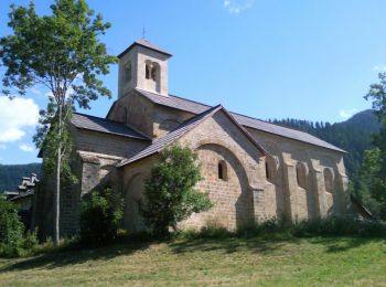
• 40 km aan kleine weggetjes die door het landschap slingeren en door charmante kleine dorpjes lopen. Stop bv bij Saix,...
Wegfiets
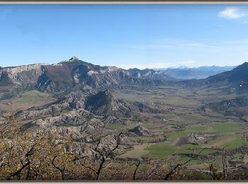
• Drie niet al te problematische beklimmingen , van het meest zuidelijke deel (Céüse) tot aan de voet van de Bure. Gew...
Wegfiets
• Prachtig en woest circuit. Slechts 5 km op een drukke weg (naar het dorp La Faurie). Maar de klim op de col de Haute ...
Wegfiets
• deze fietstocht is een aanrader, met als start de beklimming van Col d'Espréaux. Mooie afdaling door de vallei van de...
Wegfiets
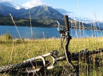
• 65 km fietsen met slechts 650m hoogteverschil, zeldzaam in de Hautes Alpes! dit is een fietstocht voor degenen die n...
Mountainbike
• Een leuke route, met een lange klim naar de Col de Seille. De eerste single track aan het begin van de wandeling is ...

Mountainbike
• Vanaf de camping volg je een serie single tracks die meer of minder technisch zijn. Zeer mooie, vrij korte mountainbi...

Mountainbike
• Deze route kan in beide richtingen worden gedaan. Er zitten geen single tracks in ,alleen de gewone paden, behalve en...
Mountainbike
Mountainbike
Mountainbike

Mountainbike
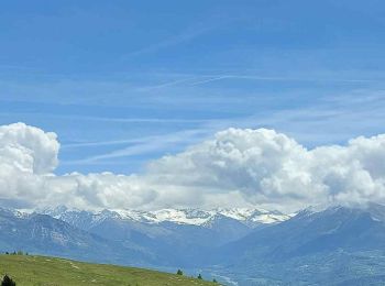
• magnifique
Mountainbike
Mountainbike
Mountainbike
• montée sans difficulté technique, descente sportive quand même,surtout par sol humide.
20 tochten weergegeven op 1119
Gratisgps-wandelapplicatie
 SityTrail
IGN / Geografische instituten
SityTrail World
De wereld gaat voor u open