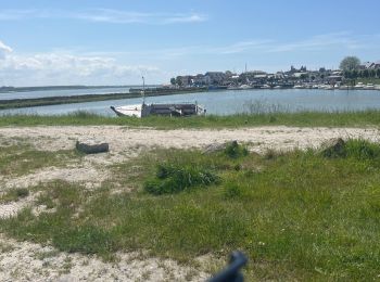
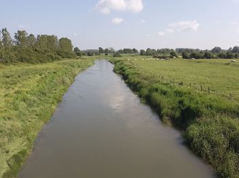
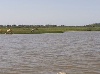
Fort-Mahon-Plage, Somme, Fiets: Top van de beste wandelroutes, trajecten, tochten en wandelingen

2 opmerkingen

Fort-Mahon-Plage: Ontdek de beste tochten: 2 wegfiets, 2 mountainbike, 3 hybride fiets en 1 elektrische fiets. Al deze tochten, trajecten, routes en outdoor activiteiten zijn beschikbaar in onze SityTrail-apps voor smartphones en tablets.


De beste trajecten (8)
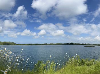
Tocht Elektrische fiets Fort-Mahon-Plage - Tour de la baie D’Authie - Photo
Elektrische fiets 50.309
Km

Elektrische fiets

Fort-Mahon-Plage, Hauts-de-France, Somme, France
50 km | 53 km-effort
3h 57min
213 m
212 m
Ja
Boubby

Tocht Wegfiets Fort-Mahon-Plage - Entre Baie d’Authie et Baie de Somme - Photo
Wegfiets 53.751
Km

Wegfiets

Gemakkelijk
Fort-Mahon-Plage, Hauts-de-France, Somme, France
54 km | 57 km-effort
4h 3min
228 m
229 m
Ja
Boubby

Tocht Hybride fiets Fort-Mahon-Plage - Fort Mahon Berck - Photo
Hybride fiets 43.196
Km

Hybride fiets

Medium
Fort-Mahon-Plage, Hauts-de-France, Somme, France
43 km | 45 km-effort
2h 58min
165 m
166 m
Ja
roclem421

Tocht Hybride fiets Fort-Mahon-Plage - Fort Mahon  le Crotoy - Photo
Hybride fiets 46.642
Km

Hybride fiets

Medium
Fort-Mahon-Plage, Hauts-de-France, Somme, France
47 km | 49 km-effort
3h 3min
204 m
205 m
Ja
roclem421

Tocht Mountainbike Fort-Mahon-Plage - ballade bord de mer - Photo
Mountainbike 23.219
Km

Mountainbike

Medium
Fort-Mahon-Plage, Hauts-de-France, Somme, France
23 km | 24 km-effort
1h 46min
93 m
92 m
Ja
Maxime Devaux

Tocht Hybride fiets Fort-Mahon-Plage - Fort Mahon  - Photo
Hybride fiets 31.548
Km

Hybride fiets

Medium
Fort-Mahon-Plage, Hauts-de-France, Somme, France
32 km | 33 km-effort
2h 4min
131 m
132 m
Ja
roclem421

Tocht Mountainbike Fort-Mahon-Plage - Fort Mahon - Photo
Mountainbike 21.812
Km

Mountainbike

Gemakkelijk
Fort-Mahon-Plage, Hauts-de-France, Somme, France
22 km | 23 km-effort
1h 36min
78 m
78 m
Ja
phugues

Tocht Wegfiets Fort-Mahon-Plage - Fort Mahon - Photo
Wegfiets 32.178
Km

Wegfiets

Fort-Mahon-Plage, Hauts-de-France, Somme, France
32 km | 34 km-effort
7h 11min
159 m
158 m
Neen
sperchant

8 tochten weergegeven op 8

Gratisgps-wandelapplicatie

Logo SityTrail SityTrail

IGN / Geografische instituten

SityTrail uit de App Store downloaden SityTrail uit Google Play downloaden

Logo SityTrail SityTrail World

De wereld gaat voor u open

SityTrail uit de App Store downloaden SityTrail uit Google Play downloaden SityTrail op Huawei AppGallery downloaden

Activiteiten

Sluiten
Mijn abonnementen