![](/images/other/stat-length.png)
- Tochten
- Fiets
- Switzerland
- Waadland
- District du Jura-Nord vaudois
- Lignerolle
Lignerolle, District du Jura-Nord vaudois, Fiets: Top van de beste wandelroutes, trajecten, tochten en wandelingen
Lignerolle: Ontdek de beste tochten: 1 fiets en 1 mountainbike. Al deze tochten, trajecten, routes en outdoor activiteiten zijn beschikbaar in onze SityTrail-apps voor smartphones en tablets.
De beste trajecten (2)
![Tocht Fiets Lignerolle - Lignerolle - La Chaux de Fonds ( Jura Suisse) - Photo](https://media.geolcdn.com/t/350/260/ext.jpg?maxdim=2&url=https%3A%2F%2Fservices.sitytrail.com%2FGeolivesWS%2FDownloadMedia.ashx%3FTrailID%3D817692%26Media%3Dfix__20170823181233.jpg)
![Fiets Fiets](https://static1.geolcdn.com/sitytour/trail-icons/200.png)
Km
#1 - Lignerolle - La Chaux de Fonds ( Jura Suisse)
Fiets
Zeer moeilijk
Lignerolle,
Waadland,
District du Jura-Nord vaudois,
Switzerland
![](/images/other/stat-length.png)
81 km | 103 km-effort
8h 25min
![](https://static1.geolcdn.com/siteimages/upload/files/1508320355ic_sort_den_pos_24dp.png)
1732 m
![](https://static1.geolcdn.com/siteimages/upload/files/1508320355ic_sort_den_neg_24dp.png)
1504 m
![](https://static1.geolcdn.com/siteimages/upload/files/16400158638029165_repeat_loop_refresh_sync_direction_icon.png)
Neen
karawatsj
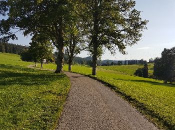
• Heel mooie maar zware fietstocht. Stukje van de Veloroute 7 in Zwitserland. Er zitten 2 beklimmingen in. Een beklimmi...
![Tocht Mountainbike Lignerolle - tour du suchet - Photo](https://media.geolcdn.com/t/350/260/ext.jpg?maxdim=2&url=https%3A%2F%2Fservices.sitytrail.com%2FGeolivesWS%2FDownloadMedia.ashx%3FTrailID%3D22918%26Media%3Dimage2.jpg)
![Mountainbike Mountainbike](https://static1.geolcdn.com/sitytour/trail-icons/202.png)
Km
#2 - tour du suchet
Mountainbike
Heel gemakkelijk
Lignerolle,
Waadland,
District du Jura-Nord vaudois,
Switzerland
![](/images/other/stat-length.png)
18,3 km | 26 km-effort
1h 49min
![](https://static1.geolcdn.com/siteimages/upload/files/1508320355ic_sort_den_pos_24dp.png)
598 m
![](https://static1.geolcdn.com/siteimages/upload/files/1508320355ic_sort_den_neg_24dp.png)
600 m
![](https://static1.geolcdn.com/siteimages/upload/files/16400158638029165_repeat_loop_refresh_sync_direction_icon.png)
Ja
vallorbe
2 tochten weergegeven op 2
Gratisgps-wandelapplicatie