


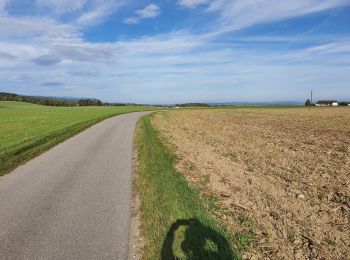
34 km | 38 km-effort
Waadland: Ontdek de beste tochten: 26 fiets, 11 wegfiets, 46 mountainbike, 1 hybride fiets, 1 fietstoerisme en 3 elektrische fiets. Al deze tochten, trajecten, routes en outdoor activiteiten zijn beschikbaar in onze SityTrail-apps voor smartphones en tablets.
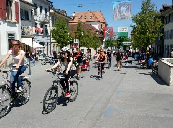
Fiets


• Ce circuit est réservé à la mobilité douce 1 fois par année.

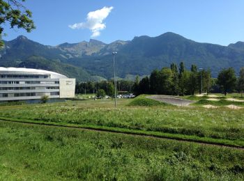
Mountainbike
Mountainbike
Fiets
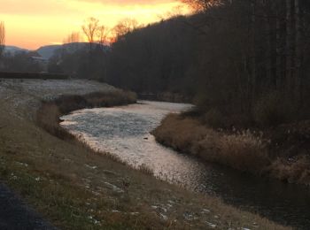
• Tout au long de la Broye

Fiets
• Tout au long de la Broye
Fiets
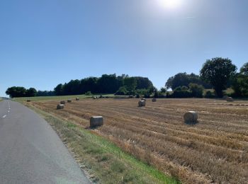
• Balade sympa de début de saison sur de petites routes pratiquement sans circulation. La plaine du Rhône, les coteaux ...
Wegfiets
Hybride fiets

Mountainbike
Fiets
• Sur la rive droite de la Broye puis passerelle Anne-Marie Brit Ménières Sassel et Granges

Fiets
• Sur la rive droite de la Broye puis passerelle Anne-Marie Brit Ménières Sassel et Granges
Fiets
• Heel mooie maar zware fietstocht. Stukje van de Veloroute 7 in Zwitserland. Er zitten 2 beklimmingen in. Een beklimmi...
Fiets
• Prachtige tocht door de rustige haast verlaten Combe des Amburnex met zicht op de Mont Blanc. Daarna geleidelijke afd...
Fiets
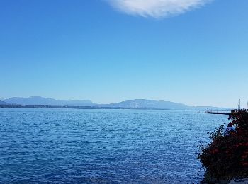
• Mooie tocht langs de noordzijde van het meer van Genève (Lac Léman. Door de wijngaarden van Vevey tot Lausanne. (stei...
Fiets
• Zeer mooi met prachtige panorama's op het Lac de l'Hongrin en het Lac Léman (meer van Genève). Opletten zeer steile a...
Fiets
Mountainbike
Mountainbike
•
Mountainbike
•
Mountainbike
•
20 tochten weergegeven op 88
Gratisgps-wandelapplicatie
 SityTrail
IGN / Geografische instituten
SityTrail World
De wereld gaat voor u open