


37 km | 50 km-effort
Manhay: Ontdek de beste tochten: 33 mountainbike en 6 elektrische fiets. Al deze tochten, trajecten, routes en outdoor activiteiten zijn beschikbaar in onze SityTrail-apps voor smartphones en tablets.

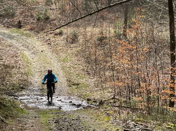
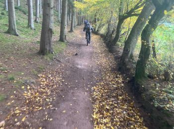
Mountainbike


•
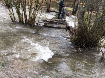
Mountainbike

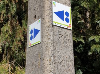
Mountainbike
• Trail created by Cœur de l'Ardenne, au fil de l'Ourthe & de l'Aisne.
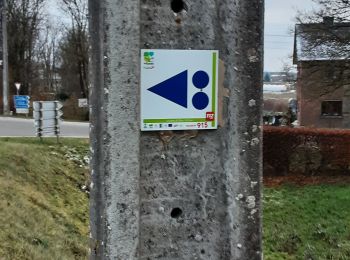
Mountainbike
• Trail created by Cœur de l'Ardenne, au fil de l'Ourthe & de l'Aisne.

Mountainbike
• Trail created by Cœur de l'Ardenne, au fil de l'Ourthe & de l'Aisne.
Mountainbike
• Trail created by Cœur de l'Ardenne, au fil de l'Ourthe & de l'Aisne.
Mountainbike
• Trail created by Cœur de l'Ardenne, au fil de l'Ourthe & de l'Aisne.

Mountainbike
• Trail created by Cœur de l'Ardenne, au fil de l'Ourthe & de l'Aisne.

Mountainbike
• Trail created by Cœur de l'Ardenne, au fil de l'Ourthe & de l'Aisne.
Mountainbike
Mountainbike
Mountainbike
Mountainbike
Mountainbike
Mountainbike
• Départ/arrivée : Parc Chlorophylle à Dochamps.Le circuit XC8 « Les deux moulins » est un parcours "cross country" d'u...
Elektrische fiets
Elektrische fiets
Mountainbike
Mountainbike
Mountainbike
20 tochten weergegeven op 39
Gratisgps-wandelapplicatie
 SityTrail
IGN / Geografische instituten
SityTrail World
De wereld gaat voor u open