


51 km | 67 km-effort
Theux: Ontdek de beste tochten: 2 fiets, 1 wegfiets, 32 mountainbike, 2 hybride fiets en 4 elektrische fiets. Al deze tochten, trajecten, routes en outdoor activiteiten zijn beschikbaar in onze SityTrail-apps voor smartphones en tablets.

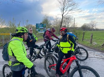
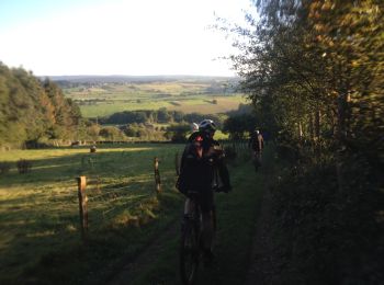
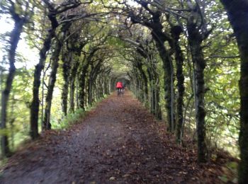
Mountainbike


•
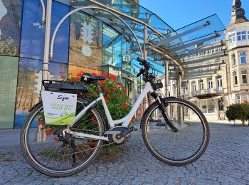
Elektrische fiets
• Verken op deze tamelijk inspannende route de charmes van Theux, doorkruis gehuchten en geniet van panoramische vergez...
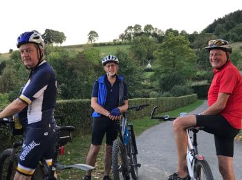
Mountainbike
Mountainbike
• Super en VAE pour franchir la montée rocailleuse du ruisseau du Fond des Trois Bois vers Banneux
Mountainbike
• Pas trop dur pour les électroassistés ?

Mountainbike
• Dit trailcenter is een verzameling downhill trails en is ontworpen door en voor mountainbikers. Elke trail is ontworp...
Mountainbike
• Trail created by Spa Hautes Fagnes Ardennes.
Mountainbike
• Trail created by Spa Hautes Fagnes Ardennes.
Mountainbike
• Trail created by Spa Hautes Fagnes Ardennes.
Mountainbike
Mountainbike
• Une toute tranquille vers la Charmille. Deux montées costaudes sur le retour. A faire en sens contraire ?
Hybride fiets
Elektrische fiets
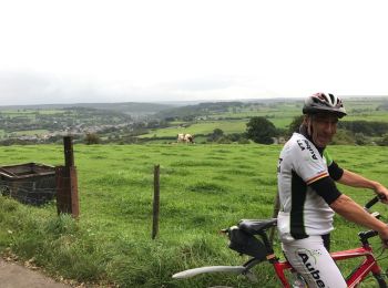
Mountainbike
Mountainbike
Mountainbike
• route et bois
Mountainbike
• Idéal pour les dames et VTC.
Mountainbike
Mountainbike
Mountainbike
20 tochten weergegeven op 41
Gratisgps-wandelapplicatie
 SityTrail
IGN / Geografische instituten
SityTrail World
De wereld gaat voor u open