


5,3 km | 8,3 km-effort
Garfield County: Ontdek de beste tochten: 11 te voet. Al deze tochten, trajecten, routes en outdoor activiteiten zijn beschikbaar in onze SityTrail-apps voor smartphones en tablets.
Stappen


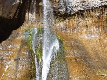
• Très belle balade avec à l'arrivée une superbe chute d'eau. 10.6 km AR
Stappen
• MAGNIFIQUE !!!
Auto

Stappen
Stappen

Stappen

Stappen
Stappen
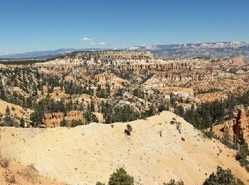
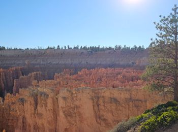
• superbe randonnée à Bryce canyon. départ de sunrise point et arrivée à sunset point. sublime balade au fond du canyon
Stappen
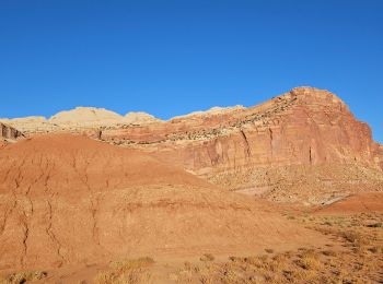
• A Capitol Reef
Stappen
• Super
Stappen

Auto
Auto
Stappen
14 tochten weergegeven op 14
Gratisgps-wandelapplicatie
 SityTrail
IGN / Geografische instituten
SityTrail World
De wereld gaat voor u open