![](/images/other/stat-length.png)
- Tochten
- Outdoor
- Slovakia
- Banskobystrický kraj
- Onbekend
- okres Žiar nad Hronom
okres Žiar nad Hronom, Onbekend: Top van de beste wandelroutes, trajecten, tochten en wandelingen
okres Žiar nad Hronom: Ontdek de beste tochten: 7 te voet. Al deze tochten, trajecten, routes en outdoor activiteiten zijn beschikbaar in onze SityTrail-apps voor smartphones en tablets.
De beste trajecten (7)
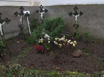
![Tocht Te voet okres Žiar nad Hronom - Po stopách baníckej činnosti vo Vyhniach - Photo](https://media.geolcdn.com/t/350/260/252adf96-bb9b-44b9-a4bd-f2842ec94dcc.jpeg&format=jpg&maxdim=2)
![Te voet Te voet](https://static1.geolcdn.com/sitytour/trail-icons/100.png)
Km
Te voet
![](/images/other/stat-length.png)
![](https://static1.geolcdn.com/siteimages/upload/files/1508320355ic_sort_den_pos_24dp.png)
![](https://static1.geolcdn.com/siteimages/upload/files/1508320355ic_sort_den_neg_24dp.png)
![](https://static1.geolcdn.com/siteimages/upload/files/16400158638029165_repeat_loop_refresh_sync_direction_icon.png)
• Symbool: education
![Tocht Te voet okres Žiar nad Hronom - Po stopách banskej činnosti - Photo](https://media.geolcdn.com/t/350/260/16a6ac69-ba4f-48a1-b76e-9ff4b7409248.jpeg&format=jpg&maxdim=2)
![Te voet Te voet](https://static1.geolcdn.com/sitytour/trail-icons/100.png)
Km
Te voet
![](/images/other/stat-length.png)
![](https://static1.geolcdn.com/siteimages/upload/files/1508320355ic_sort_den_pos_24dp.png)
![](https://static1.geolcdn.com/siteimages/upload/files/1508320355ic_sort_den_neg_24dp.png)
![](https://static1.geolcdn.com/siteimages/upload/files/16400158638029165_repeat_loop_refresh_sync_direction_icon.png)
• symbol is croossed hammers Symbool: education
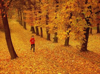
![Tocht Te voet okres Žiar nad Hronom - NCH Šibeničný vrch - Photo](https://media.geolcdn.com/t/350/260/daa9b7ea-89b1-4a33-877d-85d4f6f9d304.jpeg&format=jpg&maxdim=2)
![Te voet Te voet](https://static1.geolcdn.com/sitytour/trail-icons/100.png)
Km
Te voet
![](/images/other/stat-length.png)
![](https://static1.geolcdn.com/siteimages/upload/files/1508320355ic_sort_den_pos_24dp.png)
![](https://static1.geolcdn.com/siteimages/upload/files/1508320355ic_sort_den_neg_24dp.png)
![](https://static1.geolcdn.com/siteimages/upload/files/16400158638029165_repeat_loop_refresh_sync_direction_icon.png)
• Tocht aangemaakt door NCH Kamenica. Symbool: education
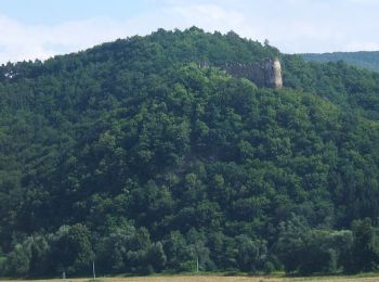
![Tocht Te voet okres Žiar nad Hronom - Náučný chodník Kamenica - Stará Kremnička - Photo](https://media.geolcdn.com/t/350/260/78fe5b8a-86eb-464e-a0e8-35c2f83e9e9c.jpeg&format=jpg&maxdim=2)
![Te voet Te voet](https://static1.geolcdn.com/sitytour/trail-icons/100.png)
Km
Te voet
![](/images/other/stat-length.png)
![](https://static1.geolcdn.com/siteimages/upload/files/1508320355ic_sort_den_pos_24dp.png)
![](https://static1.geolcdn.com/siteimages/upload/files/1508320355ic_sort_den_neg_24dp.png)
![](https://static1.geolcdn.com/siteimages/upload/files/16400158638029165_repeat_loop_refresh_sync_direction_icon.png)
• Tocht aangemaakt door NCH Kamenica. Symbool: education
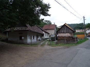
![Tocht Te voet okres Žiar nad Hronom - NCH Kotlište - Photo](https://media.geolcdn.com/t/350/260/4fd64dd3-22a9-4769-b4d3-ed3b2f1604ba.jpeg&format=jpg&maxdim=2)
![Te voet Te voet](https://static1.geolcdn.com/sitytour/trail-icons/100.png)
Km
Te voet
![](/images/other/stat-length.png)
![](https://static1.geolcdn.com/siteimages/upload/files/1508320355ic_sort_den_pos_24dp.png)
![](https://static1.geolcdn.com/siteimages/upload/files/1508320355ic_sort_den_neg_24dp.png)
![](https://static1.geolcdn.com/siteimages/upload/files/16400158638029165_repeat_loop_refresh_sync_direction_icon.png)
• Tocht aangemaakt door NCH Kamenica. Symbool: education
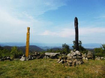
![Tocht Te voet okres Žiar nad Hronom - Ihráč – Chomový grúň - Photo](https://media.geolcdn.com/t/350/260/f4b974a2-0d8a-4db2-a662-608dca7405f1.jpeg&format=jpg&maxdim=2)
![Te voet Te voet](https://static1.geolcdn.com/sitytour/trail-icons/100.png)
Km
Te voet
![](/images/other/stat-length.png)
![](https://static1.geolcdn.com/siteimages/upload/files/1508320355ic_sort_den_pos_24dp.png)
![](https://static1.geolcdn.com/siteimages/upload/files/1508320355ic_sort_den_neg_24dp.png)
![](https://static1.geolcdn.com/siteimages/upload/files/16400158638029165_repeat_loop_refresh_sync_direction_icon.png)
• Symbool: local
![Tocht Te voet okres Žiar nad Hronom - Zelená cesta - Photo](https://media.geolcdn.com/t/350/260/0632fddf-1b45-4fa4-8c61-f7c7c995da7d.jpeg&format=jpg&maxdim=2)
![Te voet Te voet](https://static1.geolcdn.com/sitytour/trail-icons/100.png)
Km
Te voet
![](/images/other/stat-length.png)
![](https://static1.geolcdn.com/siteimages/upload/files/1508320355ic_sort_den_pos_24dp.png)
![](https://static1.geolcdn.com/siteimages/upload/files/1508320355ic_sort_den_neg_24dp.png)
![](https://static1.geolcdn.com/siteimages/upload/files/16400158638029165_repeat_loop_refresh_sync_direction_icon.png)
• Symbool: education
7 tochten weergegeven op 7
Gratisgps-wandelapplicatie