


8,9 km | 14 km-effort
Slovenia: Ontdek de 263 beste wandel- en fietstochten. Onze catalogus die helemaal is samengesteld door wandelaars en toerfietsers staat vol prachtige landschappen die erop wachten om verkend te worden. Download deze routes in SityTrail, onze gratis gps wandel-app beschikbaar op Android en iOS.
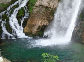
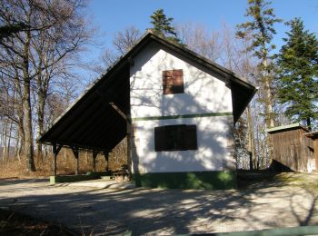
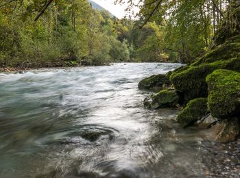
Te voet


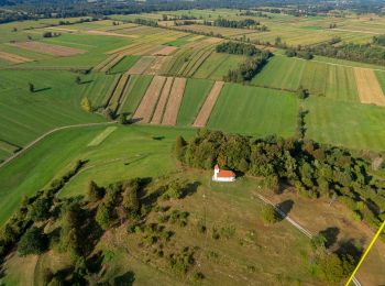
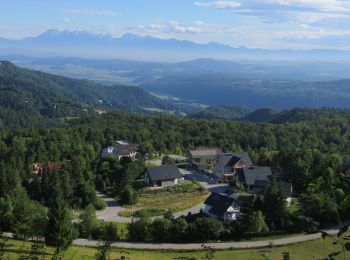
Te voet
• Tocht aangemaakt door Planinsko društvo Podpeč - Preserje.
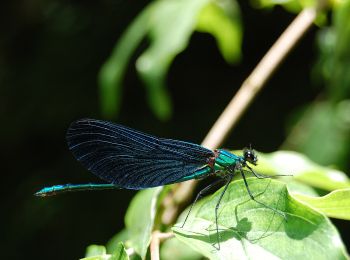
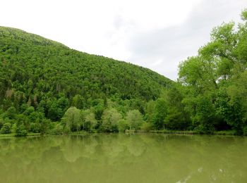
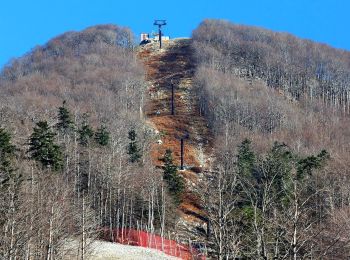
Te voet
• Tocht aangemaakt door Planinsko društvo Podpeč - Preserje.
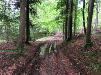
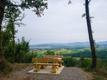
Te voet
• Tocht aangemaakt door Planinsko društvo Podpeč - Preserje.
Te voet
• Tocht aangemaakt door Planinsko društvo Krim.
Te voet
• Tocht aangemaakt door Planinsko društvo Pošte in Telekoma Ljubljana.
Te voet
• Tocht aangemaakt door Planinsko društvo Krim.
Te voet
• Tocht aangemaakt door Planinsko društvo Podpeč - Preserje.
Te voet
• Tocht aangemaakt door Planinsko društvo Krim.
Te voet
• Tocht aangemaakt door Planinsko društvo Podpeč - Preserje.
Te voet
• Tocht aangemaakt door Planinsko društvo Podpeč - Preserje.
Te voet
• Tocht aangemaakt door Planinsko društvo Podpeč - Preserje.
Te voet
• Tocht aangemaakt door Planinsko društvo Krim.
Te voet
• Tocht aangemaakt door Planinsko društvo Podpeč - Preserje.
Te voet
• Tocht aangemaakt door Planinsko društvo Krim.
Te voet
• Tocht aangemaakt door Planinsko društvo Krim.
Te voet
• Tocht aangemaakt door Planinsko društvo Nova Gorica.

Te voet
• Tocht aangemaakt door Planinsko društvo Nova Gorica.
Te voet
• Tocht aangemaakt door Darko, Miran, Franci, Ljubo, Metod Zaplotnik - PD Iskra Kranj.
Te voet
• Tocht aangemaakt door Planinsko društvo Snežnik Ilirska Bistrica, PD Platak Rijeka.
20 tochten weergegeven op 263
Gratisgps-wandelapplicatie
 SityTrail
IGN / Geografische instituten
SityTrail World
De wereld gaat voor u open