


14,7 km | 17,1 km-effort
powiat gryfiński: Ontdek de beste tochten: 11 te voet. Al deze tochten, trajecten, routes en outdoor activiteiten zijn beschikbaar in onze SityTrail-apps voor smartphones en tablets.
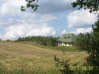
Te voet


• Trail created by PTTK. Website: http://www.gryfino.pl/WrotaGryfina/chapter_57183.asp
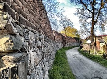
Te voet
• Trail created by PTTK. Website: http://www.gryfino.pl/WrotaGryfina/chapter_57183.asp
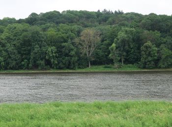
Te voet
• Symbol: green Website: http://szlaki-zachodniopomorskie.pl/articles.php?article_id=32

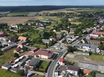
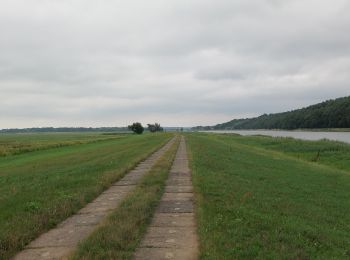
Te voet
• Symbol: red
Te voet
• Symbol: red
Te voet
Te voet
Te voet
Te voet
Te voet

Te voet
• Symbol: black
11 tochten weergegeven op 11
Gratisgps-wandelapplicatie
 SityTrail
IGN / Geografische instituten
SityTrail World
De wereld gaat voor u open