


7,5 km | 9,8 km-effort
Agder: Ontdek de beste tochten: 24 te voet. Al deze tochten, trajecten, routes en outdoor activiteiten zijn beschikbaar in onze SityTrail-apps voor smartphones en tablets.
Stappen


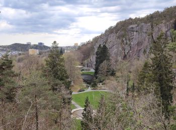
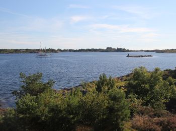
Te voet
• Trail created by Farsund municipality.
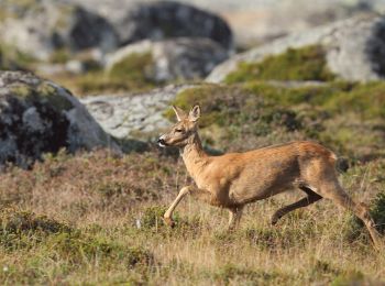
Te voet
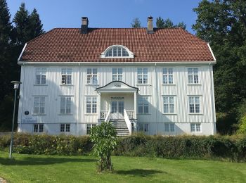
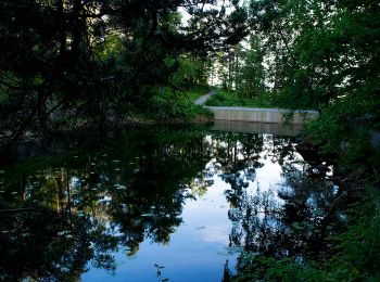
Te voet
• Symbol: blue_dot
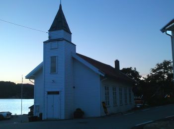
Te voet
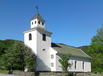
Te voet
Te voet

Te voet
• Trail created by Destinasjon Hovden. Website: https://hovden.com/
Te voet
• Trail created by Destinasjon Hovden. Website: https://hovden.com/
Te voet
• Trail created by Destinasjon Hovden. Website: https://hovden.com/
Te voet
• Trail created by Destinasjon Hovden. Symbol: without
Te voet
• Trail created by Destinasjon Hovden. Website: https://hovden.com/
Te voet
• Trail created by Destinasjon Hovden. Website: https://hovden.com/
Te voet
• Trail created by Destinasjon Hovden. Website: https://hovden.com/
Te voet
• Trail created by Destinasjon Hovden. Symbol: markings with blue color on stones and trees Website: https://hovden....
Te voet
• Website: https://hovden.com/
Te voet
• Trail created by Destinasjon Hovden. Website: https://hovden.com/
Te voet


Motor
• More information on GPStracks.nl : http://www.gpstracks.nl
20 tochten weergegeven op 25
Gratisgps-wandelapplicatie
 SityTrail
IGN / Geografische instituten
SityTrail World
De wereld gaat voor u open