


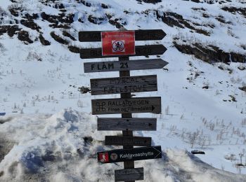
7,9 km | 11,5 km-effort
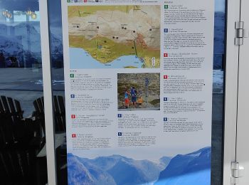
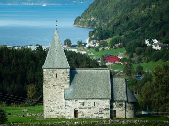
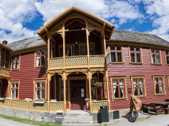
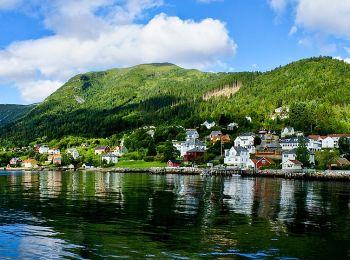
Vestland: Ontdek de beste tochten: 150 te voet, 1 met de fiets of mountainbike en 1 te paard. Al deze tochten, trajecten, routes en outdoor activiteiten zijn beschikbaar in onze SityTrail-apps voor smartphones en tablets.
Stappen


Stappen
Stappen
Stappen

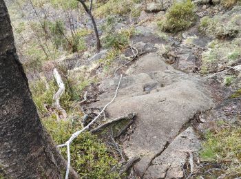
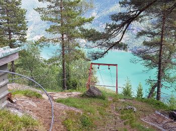
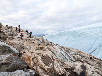
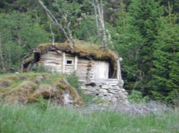
Te voet
• Trail created by Kvinnherad Turlag.
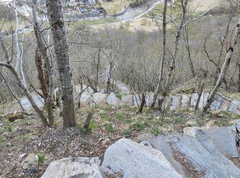
Te voet
• Trail created by Den Norske Turistforening.
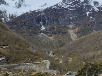
Te voet
• Trail created by Kvinnherad Turlag.
Te voet
• Trail created by Kvinnherad Turlag.
Te voet
• Trail created by Kvinnherad Turlag.
Te voet
• Trail created by Kvinnherad Turlag.
Te voet
• Trail created by Kvinnherad Turlag.
Te voet
• Trail created by Kvinnherad Turlag.

Te voet
• Trail created by Kvinnherad Turlag.

Te voet
• Trail created by Vik Turlag. Symbol: Red paint
Te voet
• Trail created by Vik Turlag. Symbol: Red paint
Te voet
• Trail created by Vik turlag.

Te voet
• Trail created by Balestrand og Høyanger Turlag.
Te voet
• Trail created by Lærdal turlag.
Te voet
• Trail created by Balestrand og Høyanger Turlag. Symbol: Red paint
20 tochten weergegeven op 170
Gratisgps-wandelapplicatie
 SityTrail
IGN / Geografische instituten
SityTrail World
De wereld gaat voor u open