


5,5 km | 6 km-effort
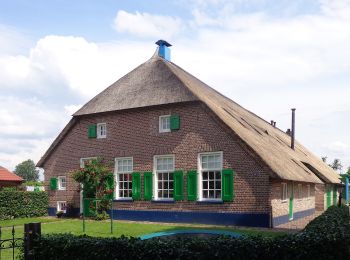
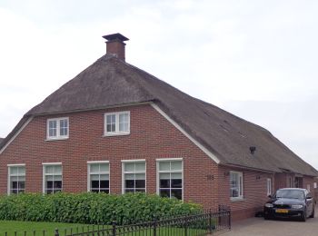
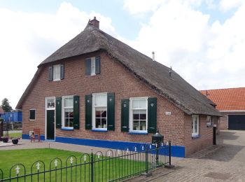
Staphorst: Ontdek de beste tochten: 20 te voet en 4 met de fiets of mountainbike. Al deze tochten, trajecten, routes en outdoor activiteiten zijn beschikbaar in onze SityTrail-apps voor smartphones en tablets.
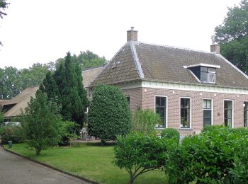
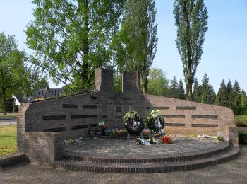
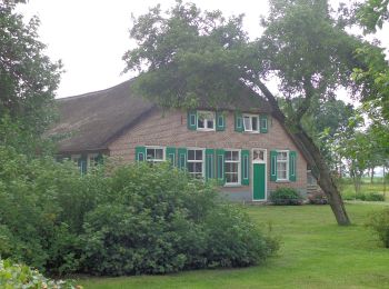
Te voet


• Symbol: bruin klavertje
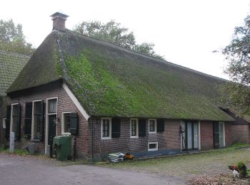
Te voet
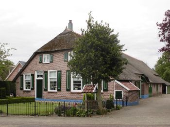
Te voet
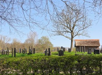
Te voet
Te voet
Te voet
Te voet
Te voet
Te voet
Te voet
Te voet
Te voet
Te voet
Te voet
Te voet
Te voet
Te voet
Te voet

Te voet

Motor
• More information on GPStracks.nl : http://www.gpstracks.nl
20 tochten weergegeven op 25
Gratisgps-wandelapplicatie
 SityTrail
IGN / Geografische instituten
SityTrail World
De wereld gaat voor u open