


3,8 km | 4,3 km-effort
Berg en Dal: Ontdek de beste tochten: 18 te voet en 3 met de fiets of mountainbike. Al deze tochten, trajecten, routes en outdoor activiteiten zijn beschikbaar in onze SityTrail-apps voor smartphones en tablets.
Te voet


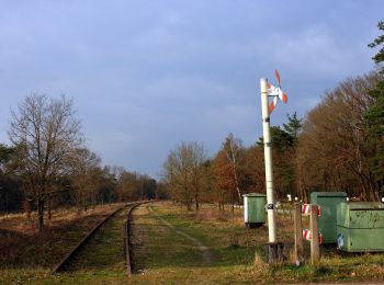
• Oude beukenlanen, vennen, moerasruigten, rivierduinen en landgoederen. Ontdek de mooiste plekken van Rijk van Nijmege...
Te voet
• Oude beukenlanen, vennen, moerasruigten, rivierduinen en landgoederen. Ontdek de mooiste plekken van Rijk van Nijmege...
Te voet
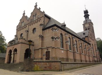
• Op de steile heuvelrand tussen Beek en Berg en Dal, ten oosten van Nijmegen, ligt een prachtig natuurgebied met een g...
Te voet
• Op de steile heuvelrand tussen Beek en Berg en Dal, ten oosten van Nijmegen, ligt een prachtig natuurgebied met een g...
Te voet
• Trail created by Natuurbescherming / Regionaal Bureau voor Toerisme Arnhem Nijmegen. Symbol: green
Te voet

Te voet
• Oude beukenlanen, vennen, moerasruigten, rivierduinen en landgoederen. Ontdek de mooiste plekken van Rijk van Nijmege...

Stappen
• Nijmegen N70 16km.
Stappen
• wandeling van trage tochten, dus voornamelijk onverhard. Mooie wandeling door het bos, met wat heuvels er in.

Fiets
• More information on GPStracks.nl : http://www.gpstracks.nl
Mountainbike
• More information on GPStracks.nl : http://www.gpstracks.nl
Mountainbike
• More information on GPStracks.nl : http://www.gpstracks.nl
Stappen
• More information on GPStracks.nl : http://www.gpstracks.nl
Stappen
• More information on GPStracks.nl : http://www.gpstracks.nl
Stappen
• More information on GPStracks.nl : http://www.gpstracks.nl
Stappen
• More information on GPStracks.nl : http://www.gpstracks.nl
Stappen
• More information on GPStracks.nl : http://www.gpstracks.nl
Stappen
• More information on GPStracks.nl : http://www.gpstracks.nl
Andere activiteiten
•
Stappen
20 tochten weergegeven op 22
Gratisgps-wandelapplicatie
 SityTrail
IGN / Geografische instituten
SityTrail World
De wereld gaat voor u open